WASHINGTON — The calendar says October, but our weather feels more like mid-November.
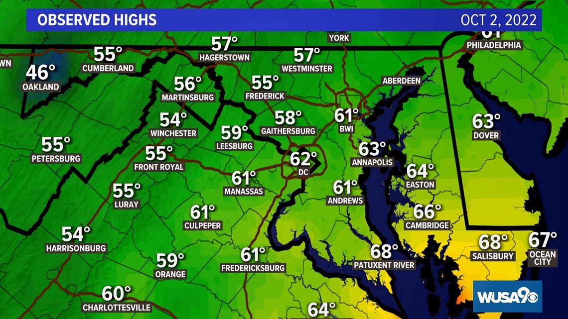
An unusual weather pattern has left us chilly and damp. Both Saturday and Sunday D.C. failed to get above 65 degrees.
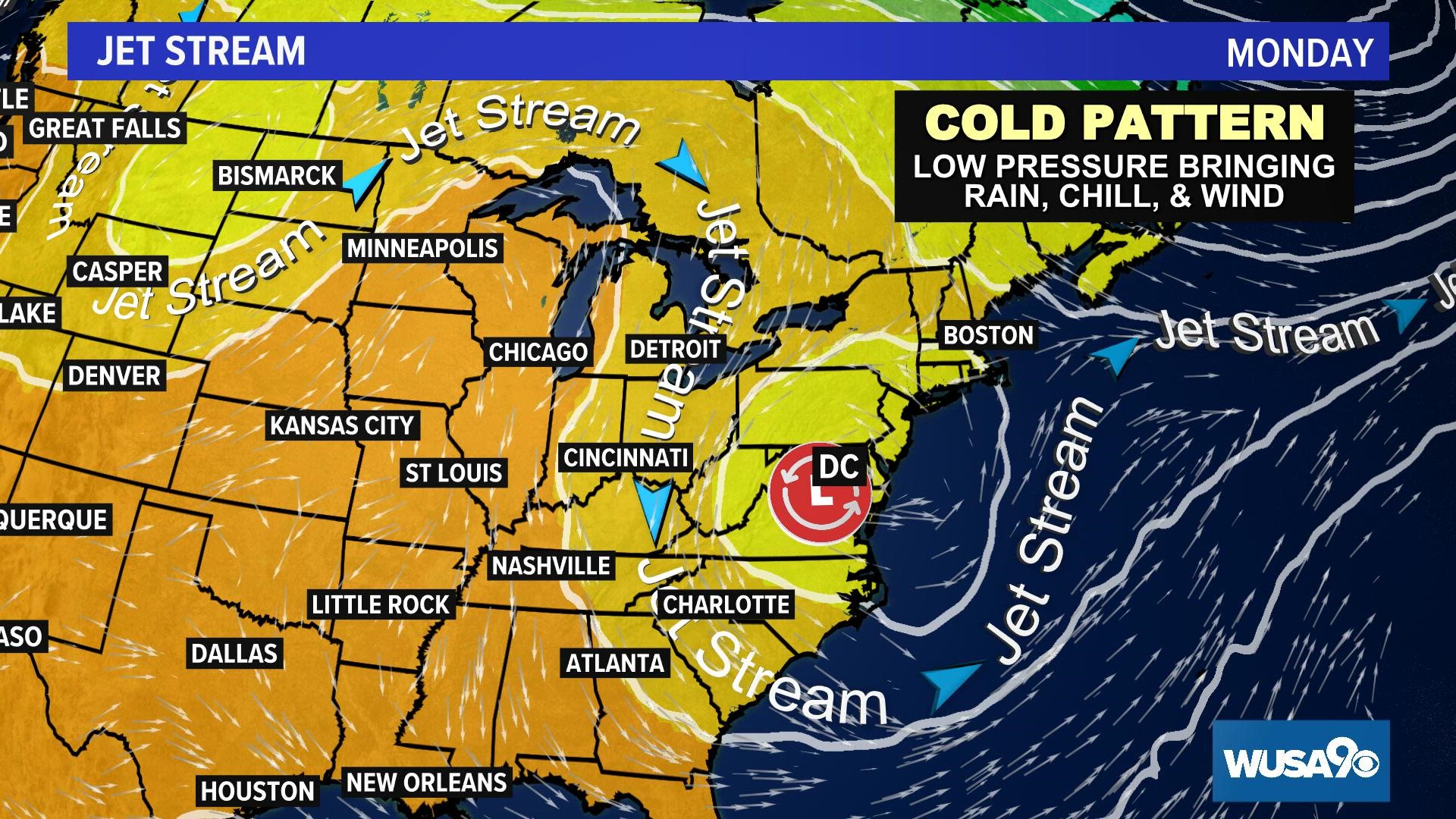
So why the cold pattern? First, the remnants of Hurricane Ian moved into our region over the weekend, bringing clouds and rain. Additionally, a colder-than-usual airmass moved in from Canada with an area of low pressure. This low pressure system became cut-off from the main flow of east to west moving weather. The result has been rain, clouds, and those cool 60s, more typical of early November. And the chilly 50s on Monday and Tuesday are more like the temperatures we'd see around Thanksgiving!


Our forecast keeps this cut-off low pressure over the area through Wednesday, leading to more cloudy, chilly, damp weather for the D.C. region.
Once that pesky area of low pressure moves away, expect a return to sunny and warmer days, especially Thursday and Friday. You may be able to break out the short sleeves again with a return to 70 degree weather. However, another cold front will blow through the mid-Atlantic just in time for the weekend. Temperatures will again plunge, back to the 50s and 60s by Saturday and Sunday.
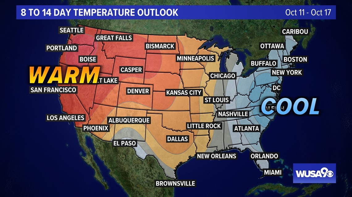
Looking ahead, expect yet more cold weather for the rest of the month. The Climate Prediction Center has our area in the cooler-than-average outlook for the middle of the month! Additionally, we are forecast to have cool weather overall for the entire month of October.


The good news is October is set to end on a milder note, with above average warmth forecast for the final two weeks of the month. This hopefully means we won't be freezing under our costumes for Halloween.
RELATED: Wet, chilly and breezy again Monday

