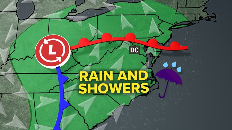
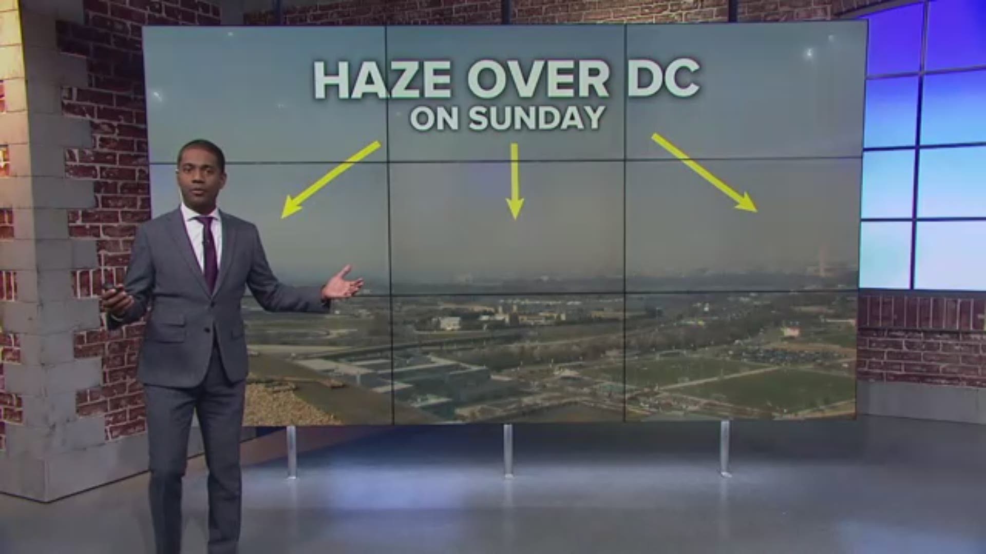
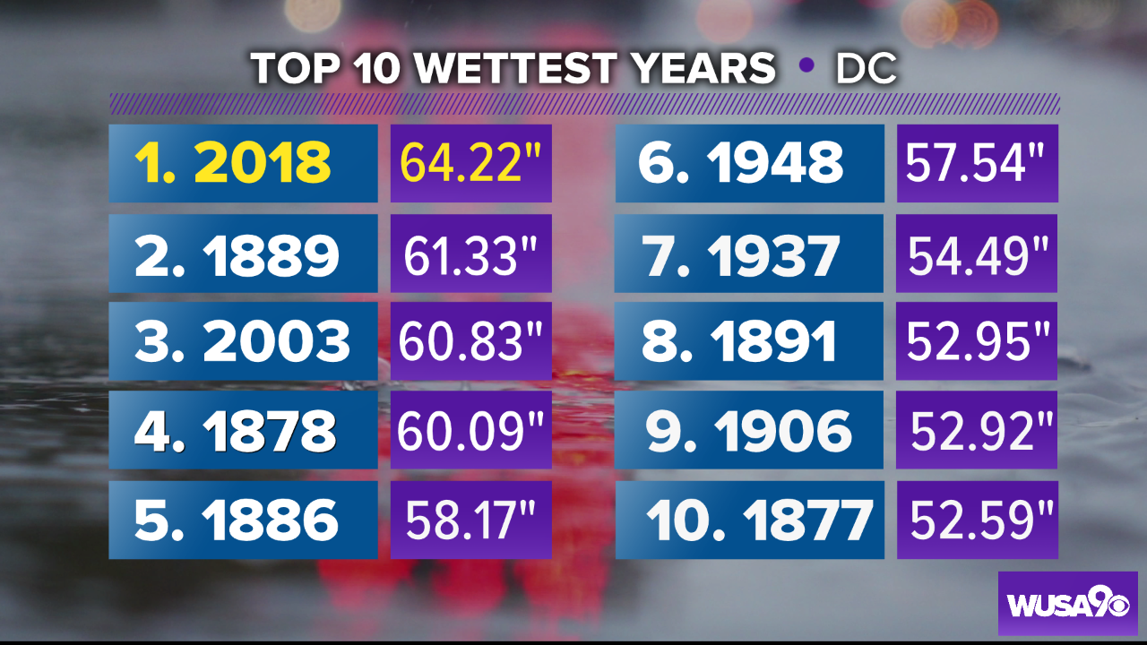
2018 surpassed the 1889 record to become DC's wettest year on record on December 14th. And this weekend, we're about to lap it with another 1" of rain potentially on the way.
Setup: A Multi-Day Wet Setup
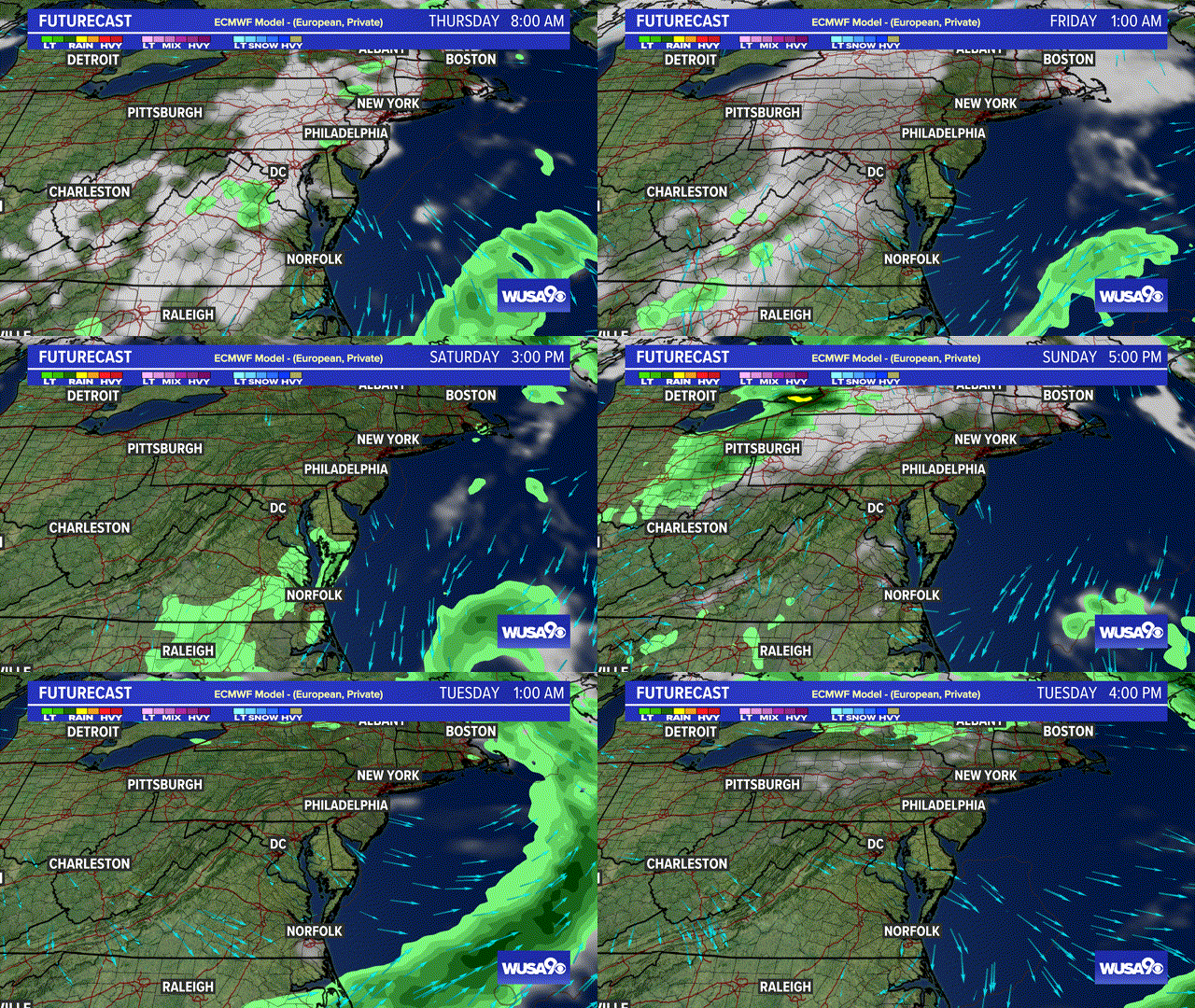
A strong low pressure system will bring periods of rain, showers, and even a few t-storms to the area. The wet weather begins to arrive around noon Thursday and does not exit the area entirely until early Saturday morning. It will bring a wide temperature swing -- and DC will be in the 60s Friday.
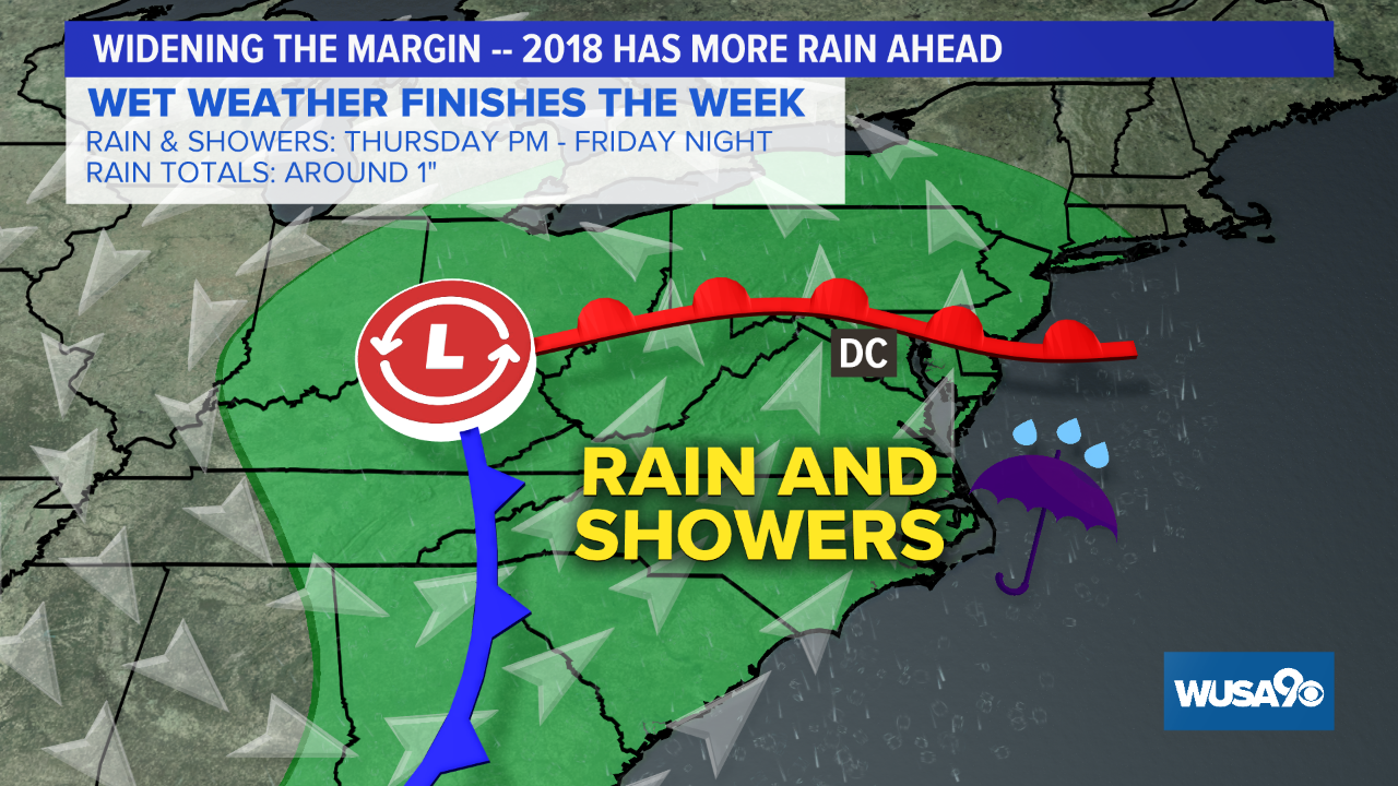
Timing: Wet To Finish The Week
Thursday starts breezy and dry, but showers overspread the area in the afternoon/evening. Some pockets of moderate to heavy rain will be possible between Thursday night and Friday morning. More showers and even some t-storms along with breezy winds and warm temps for Friday. The last of the showers exit before dawn Saturday with up-slope mountain snow to follow. Below is the Futurecast run of the European Model.
How Much Rain?
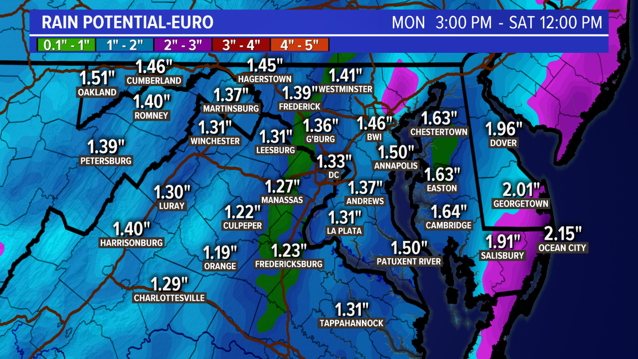
Rain totals will be around 1", with locally higher amounts possible. Below is the European Model, showing 1" to 1.5". Our yearly rainfall total now stands above 64", so we could exceed 65" of precipitation before the week is done.
Click Here to see how this system could impact travel leading up to the Holidays.
Click Here for the local forecast.


