WASHINGTON — When
- A storm that developed over the weekend (formerly Potential Tropical Cyclone Eight) is set to bring rain chances to the DMV through Thursday.
Impact
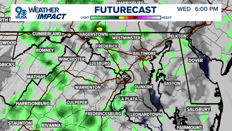
- Plan on scattered showers Wednesday afternoon and evening.
- A few more showers Thursday, followed by a nice Friday and a nice weekend.
Need to know
- Plan on having an umbrella handy through Thursday.
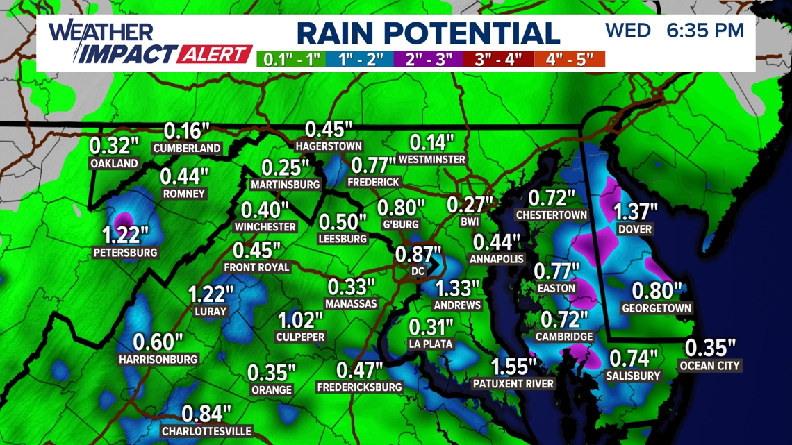
- In the Metro an 1" of rain is likely.
What once was Tropical Cyclone Eight never became a tropical storm but produced heavy rainfall over most of North Carolina. Up to 16" of rain fell just west of Wilmington, N.C. This moisture will into the DMV Tuesday afternoon, evening, and night and remain through Wednesday. Look for showers with pockets of heavy rain as the storm system moves nearby.
How much rain?
A widespread .50" to 1.5" of rain and showers will fall. The lightest amounts will be north up around Frederick, MD and north and east of the Beltway. The heaviest amounts will be west, south and southwest around Luray, Orange, Culpeper and Fredericksburg and points south.
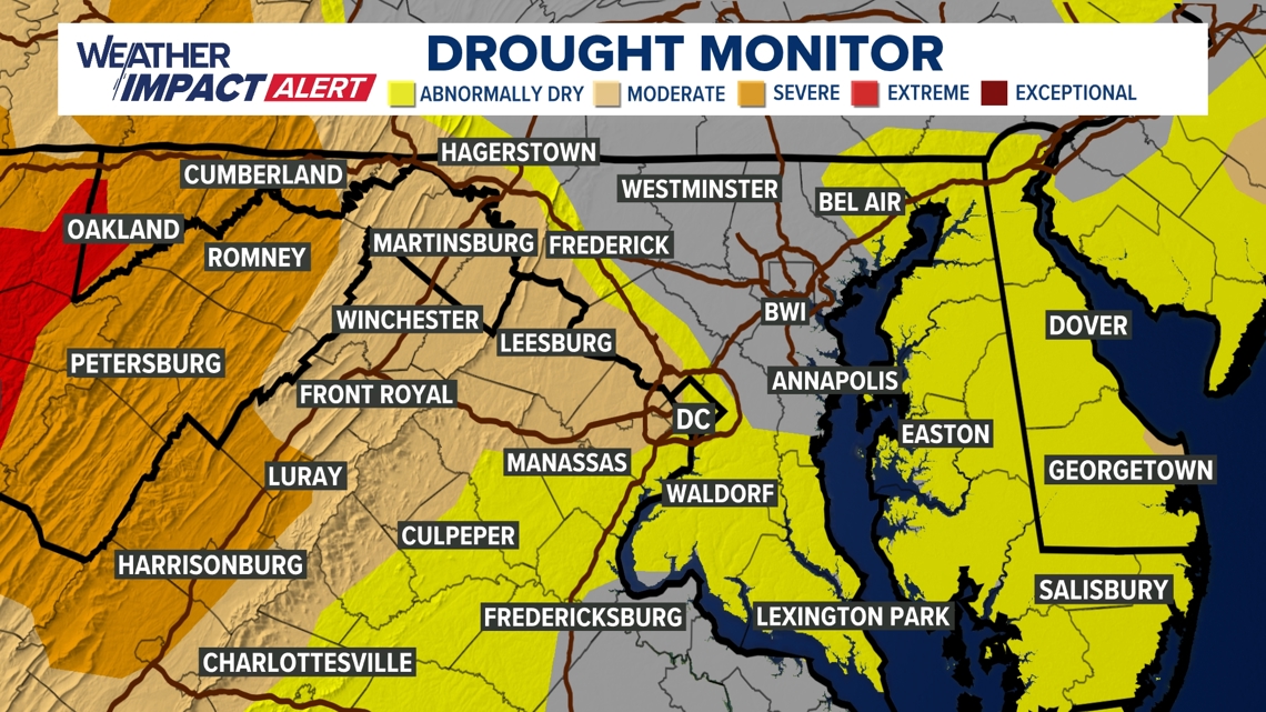
Areas along and west of I-81 are still experiencing severe drought conditions. Given the recent dry weather and the prolonged nature of the anticipated rainfall, there really isn't a flood risk. This rain will be welcome along I-81.


RELATED: What's in a hurricane name?