WASHINGTON — It's not unusual for dust to get into the air from the Sahara Desert in Africa and make its way over the Atlantic. Actually, it's quite normal and actually helps to suppress tropical development.
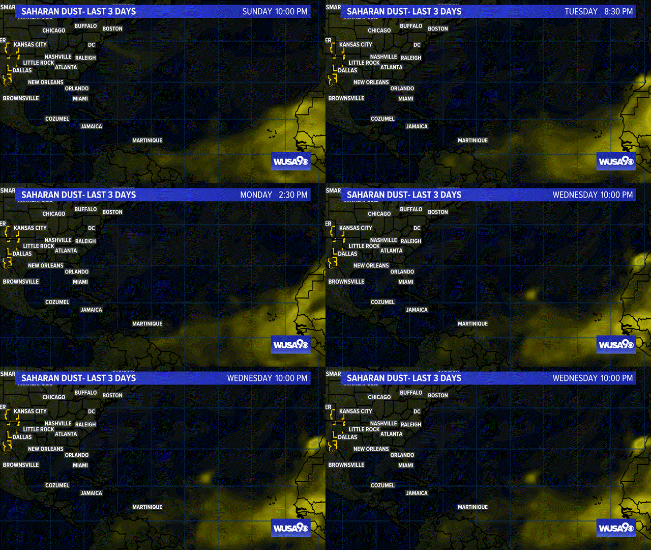
But the extent of the dust that has made it all the way into the Gulf Of Mexico as of Wednesday -- and is only getting larger-- is unusual.
Visibilities in Puerto Rico were below 3-miles in haze on Tuesday and some of that dust could make it all the way to the DMV. Light amounts of dust would give us vivid sunrises and sunsets, while heavier amounts would give us hazier skies and reduced visibilities. Heavier dust would also exacerbate pre-existing asthma, respiratory illnesses, and allergies.
The African Easterly Jet, which usually has strong winds that help transport the dust westwards, was relatively weak this June, letting more amount of dust accumulate. It's that accumulated dust that is heading in a dense plum towards the US, causing a layer so thick it ended up on weather satellites.
RELATED: Gorgeous Wednesday with low humidity, 90s return this weekend
This is a loop of observed Saharan Dust from NASA satellites:
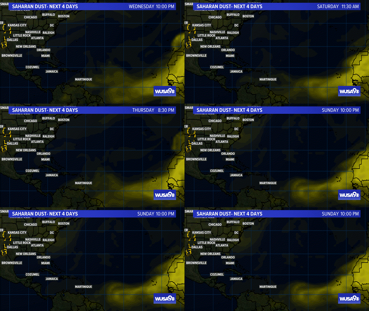
This is a computer model of the dust over the next 4 days
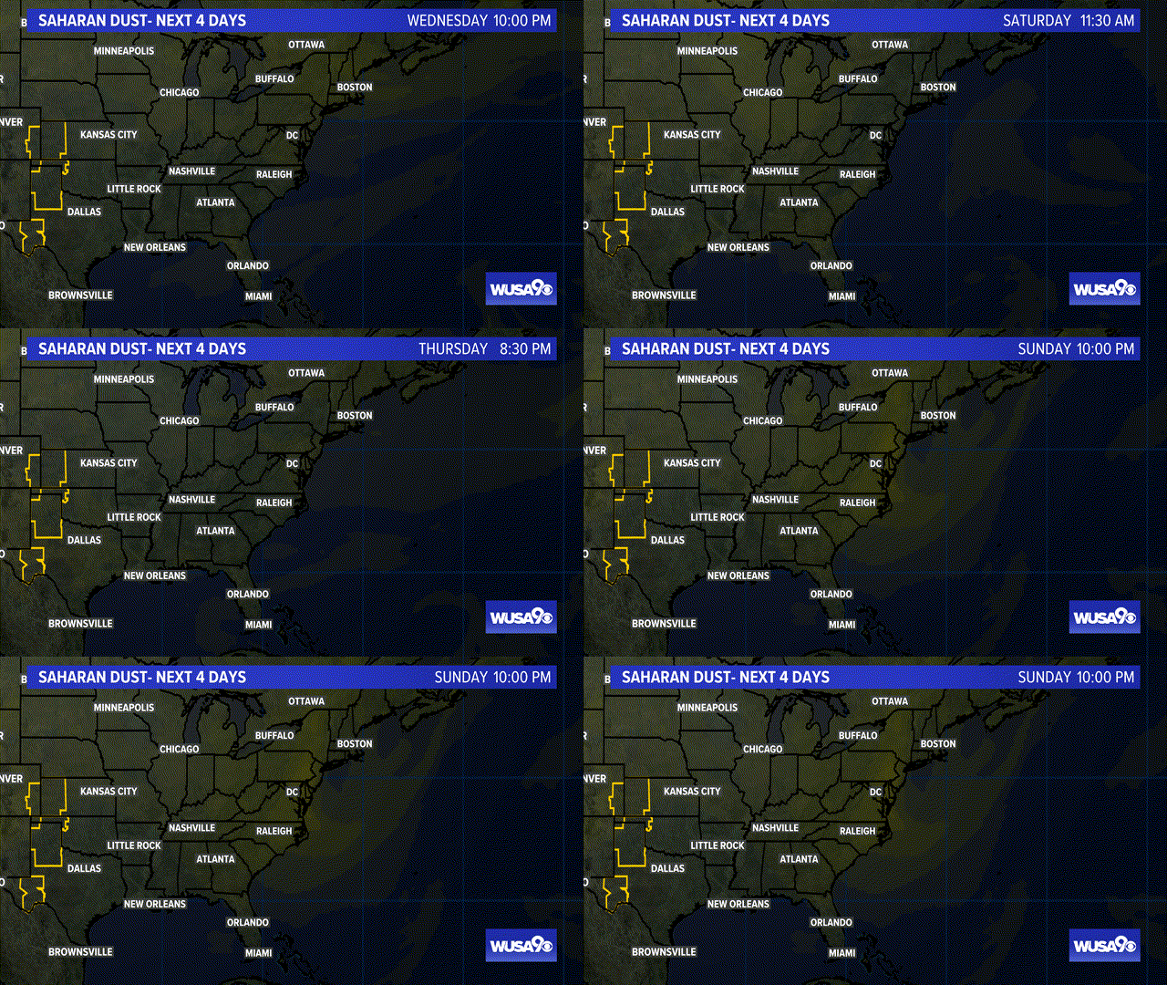
This is a tighter view of the computer model of the dust over the next 4 days.


