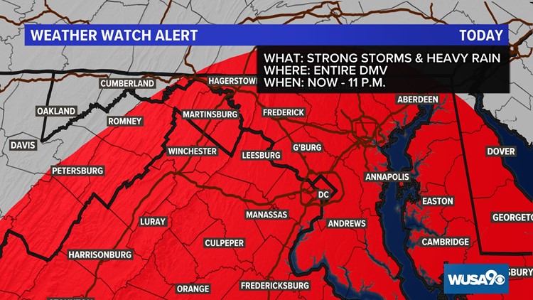
WASHINGTON — Here we go again...we're tracking our next round of strong storms and heavy rain. The biggest concern will be locally heavy downpours that could result in flooding and damaging wind gusts.
We have seen a lot of rain recently, so the ground is already fairly saturated. It won't take much as far as gusty wind goes to uproot trees. Strong wind gusts could also take down tree branches and power lines.

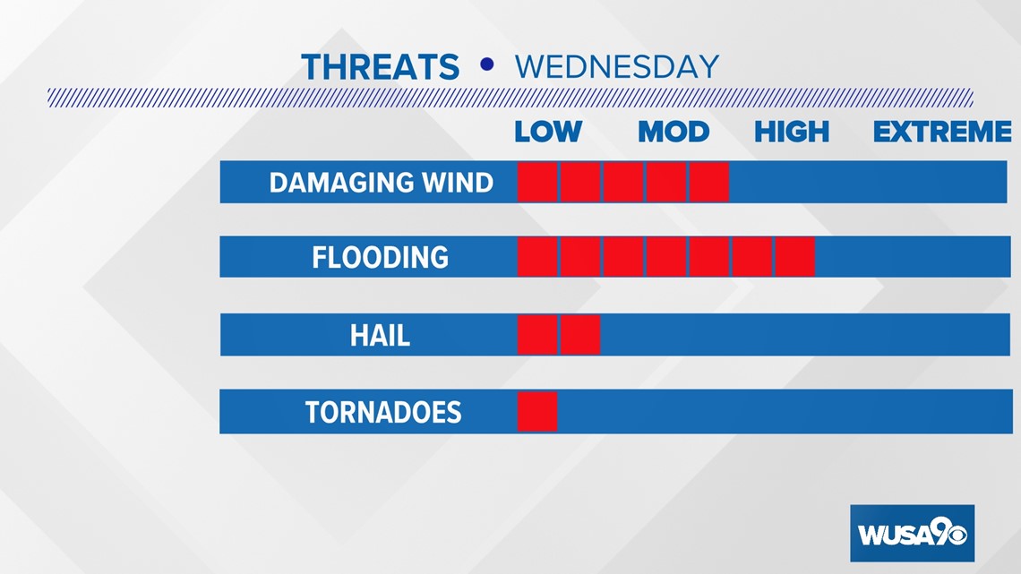
Here's a breakdown of what you can expect storms to roll through:
Now - 6 p.m.
Storms will become more widespread and move into the metro D.C. area throughout the late afternoon and evening. Plan ahead now for a slow evening commute. Pockets of heavy rain could lead to flash flooding and ponding on roadways. Always, always, remember to turn around don't drown! Driving through flood waters can be incredibly dangerous and we already had a number of water rescues Monday in Prince George's county.
RELATED: Drivers call for help on flooded Riverdale Park roads | How to stay safe during flash flooding

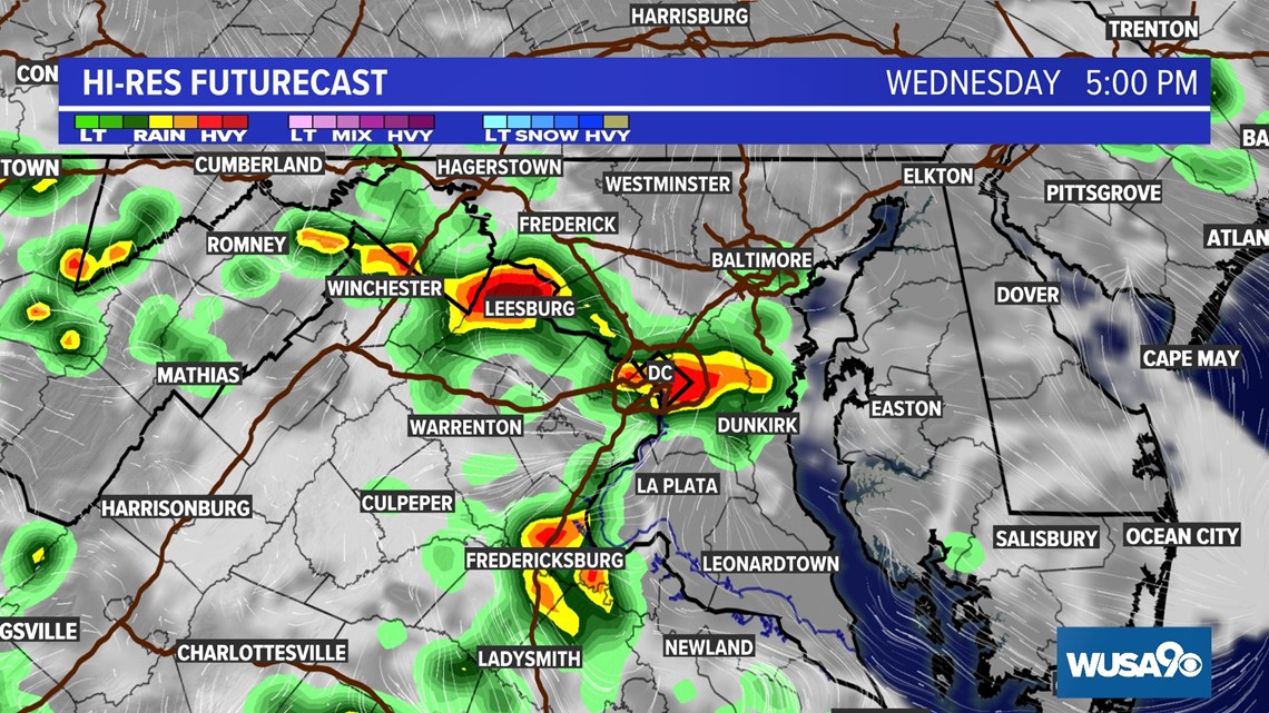
6 - 9 p.m.
We'll still be tracking scattered showers and storms after dinner time. The threat for severe weather will diminish after the sunsets, but we could still be dealing with isolated flooding well into the late evening hours.

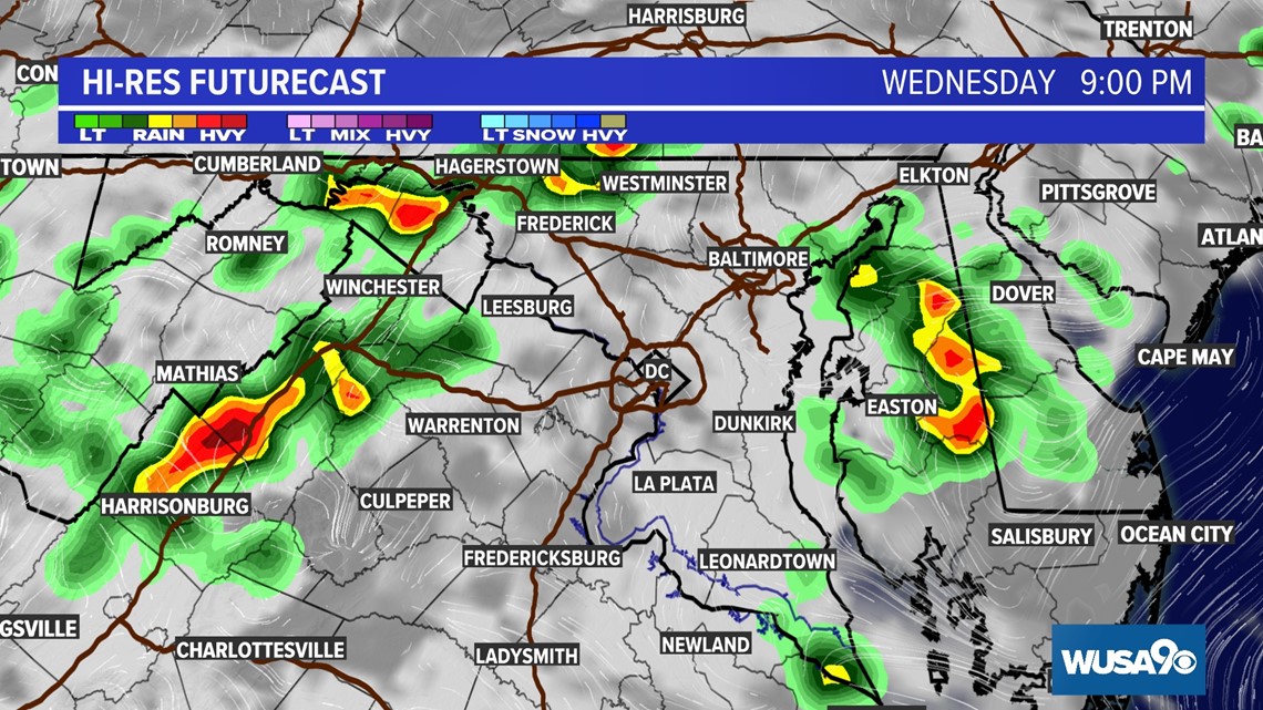
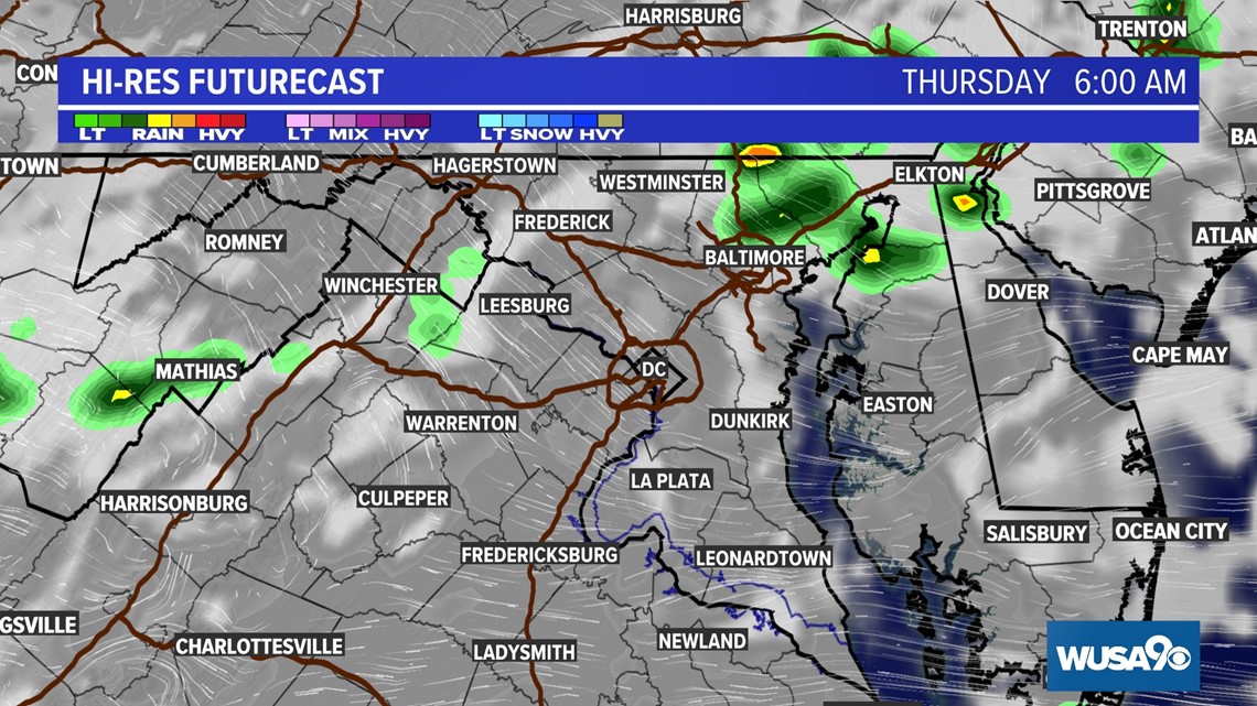
Overnight and Thursday morning:
Showers and storms will become much more isolated after midnight, but we are still expecting scattered showers very early Thursday morning ahead of a reinforcing cold front. The Thursday morning commute may be damp, but showers will be relatively scattered and light.

Remember you can get updates anytime on our WUSA9 app. Click to download.
RELATED: Drivers call for help on flooded Riverdale Park roads | How to stay safe during flash flooding
RELATED: How to prepare for severe weather


