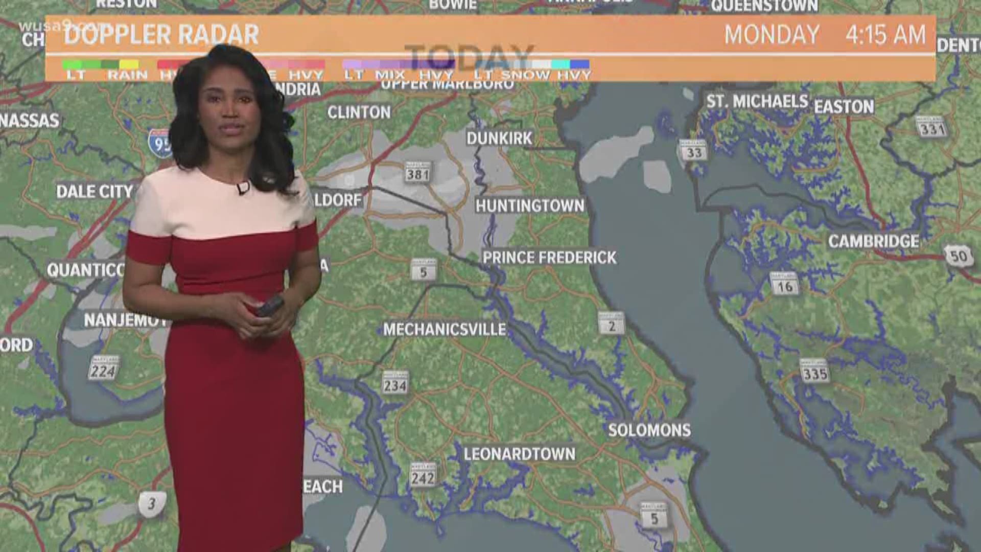
Double digit snow totals were common across much of the metro region with even a few spots like Columbia (12.9 inches) and Washington Grove (12.3 inches) with more than a foot!
The following are snow totals through 10 PM Sunday
District Of Columbia Snow Totals
WUSA - TV - 10"
Maryland Snow Totals
Columbia - 13.0"
College Park - 11"
Four Corners - 11.2"
Olney - 14"
Damascus - 12"
Clarksburg - 11"
Rockville - 11.6"
Germantown - 12.0"
Norbeck - 10.8"
Bethesda - 9.5"
Virginia Snow Totals
Ashburn - 12"
Mclean - 10.5"
Falls Church - 10.1"
Vienna - 10"
Fairfax - 9.2"
Chantilly - 9.2"
Leesburg - 9.0"
Reston - 9.0"
Dulles Airport - 9.8"
National Airport - 9.0"
Gainesville - 7.8"
Bealeton - 8.5"
West Virginia Snow Totals
Bunker Hill - 10.0"
Martinsburg - 11.7"
Shepherdstown - 7"
The significant snowfall will cause travel impacts for the Monday morning commute along with widespread closings and delays.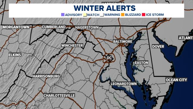
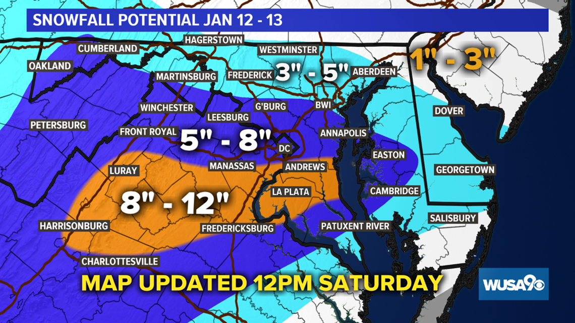
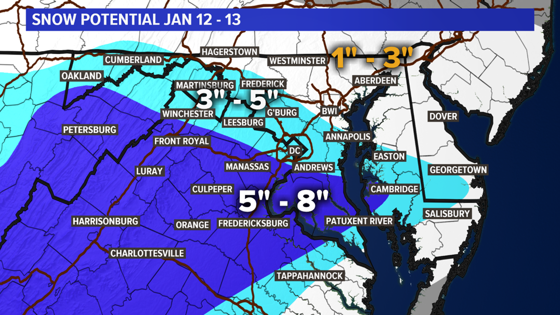
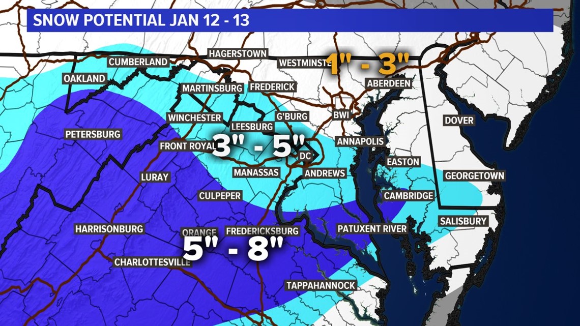
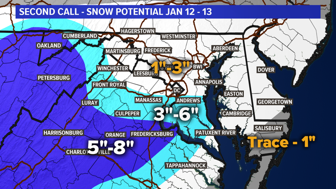
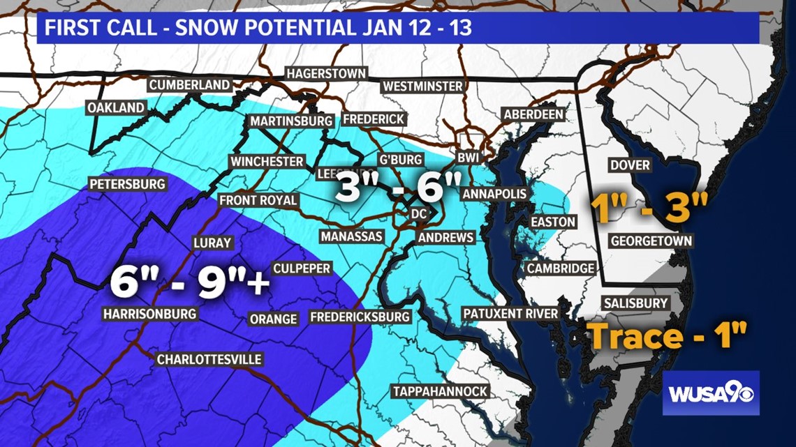
Snow Potential: Recapping Our Snow "Calls"
FINAL CALL
With the snow coming down and more on the way, once again the snow forecast was raised Saturday night.

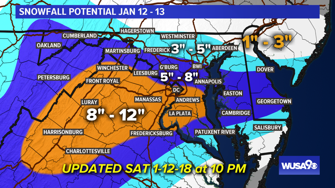
Fifth Call For Snowfall -- Saturday Noon

Fourth Call Snow Potential -- Saturday AM

Third Call Snow Potential -- From Friday

Second Call Snow Potential -- From Thursday

First Call Snow Map -- From Wednesday

RELATED: DC Local Weather Forecast

