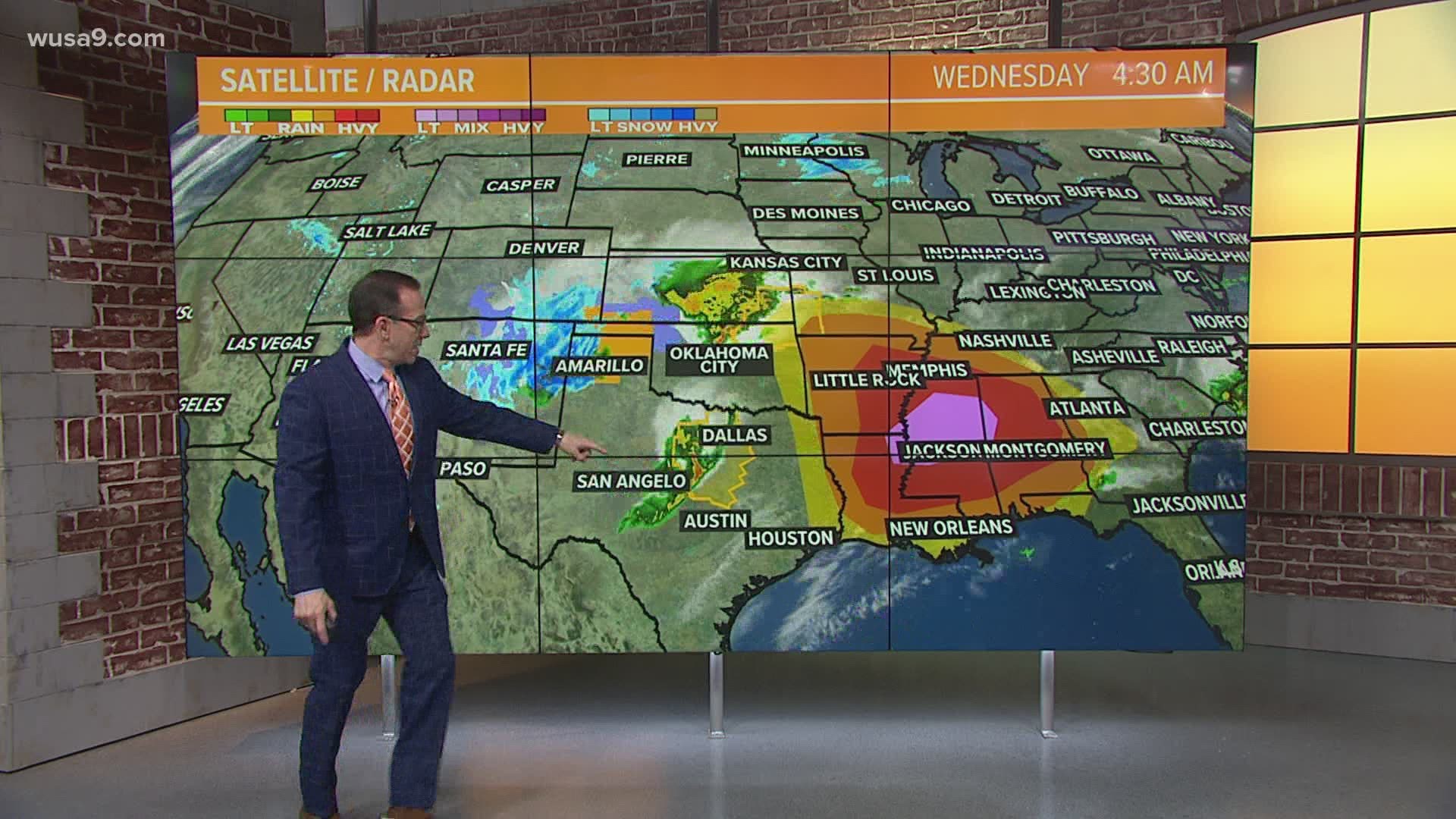
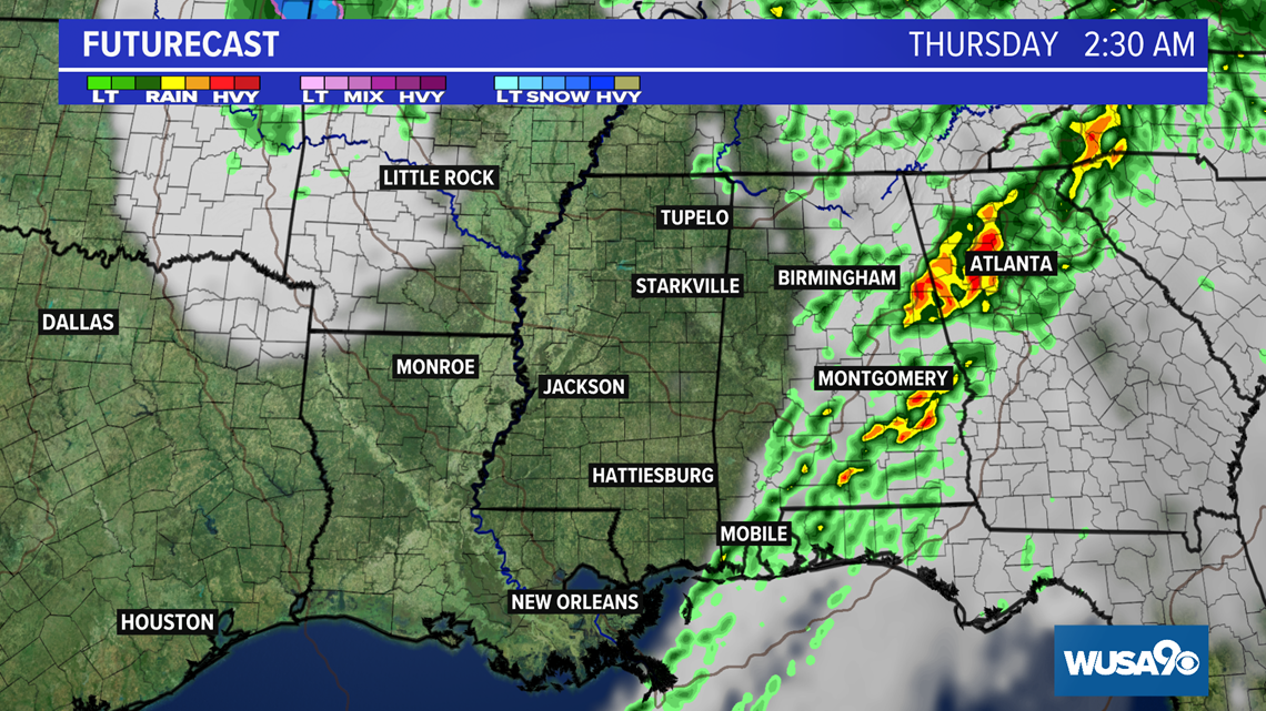
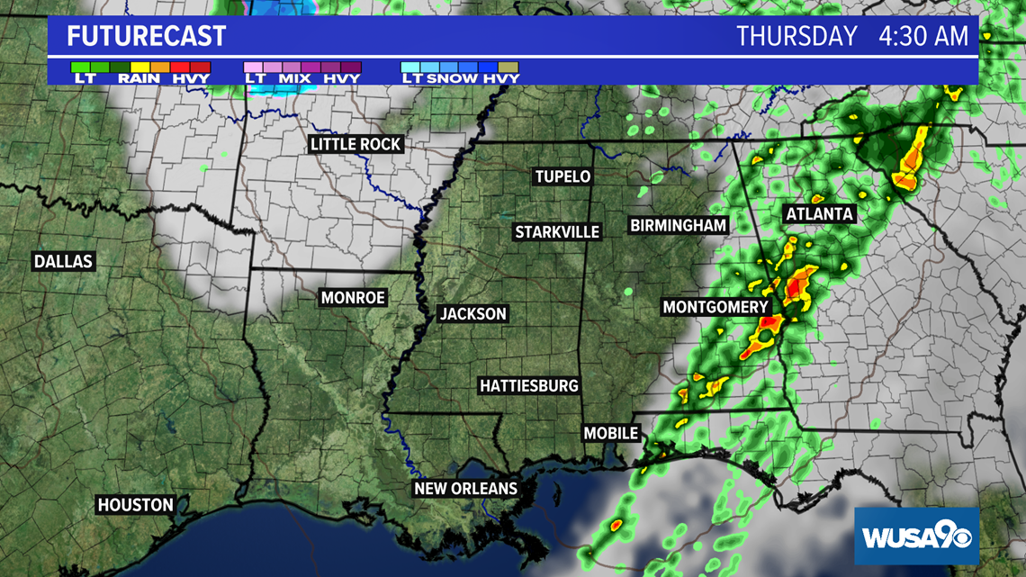
WASHINGTON — Wednesday will shape up to be a very active weather day for parts of the lowers Mississippi Valley and the Deep South.
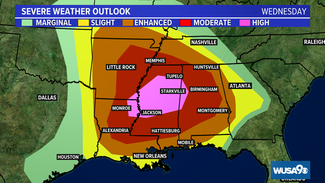
The Storm Prediction Center in Norman Oklahoma as issued a rare high risk warning for a good chunk of central Mississippi, a sliver of western Alabama, a small section of northeast Louisiana and a very small part of southeast Arkansas.
From the Storm Prediction Center:
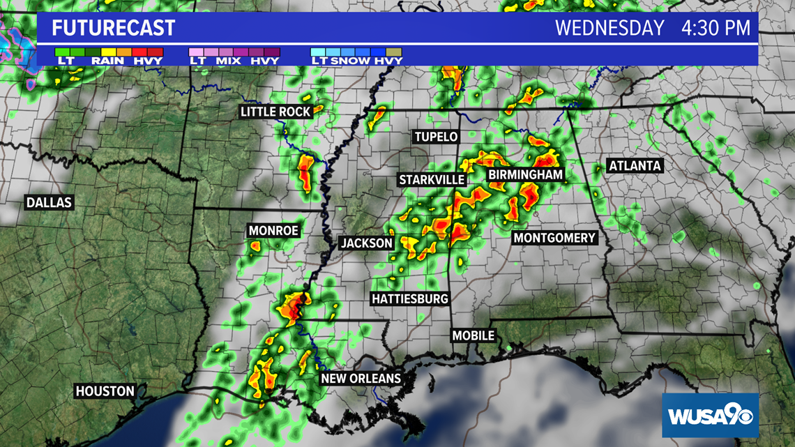
"A regional outbreak of severe storms is expected today and tonight across portions of the Lower Mississippi Valley into Alabama. Widespread severe storms capable of producing tornadoes (several of which may be intense), very large hail and intense damaging wind gusts are expected. More than one round of severe storms are possible across parts of Mississippi into Alabama during the afternoon into the overnight hours."
High risk outlooks are rare with the last one in March coming in 2012.

A large area of low pressure across Texas and Oklahoma Wednesday morning will move east across the outlooked area. Temperatures into the 70s and 80s along with high humidity and strong upper level winds are all coming together to generate this dangerous weather.
Here's a full breakdown:


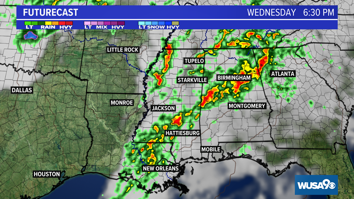

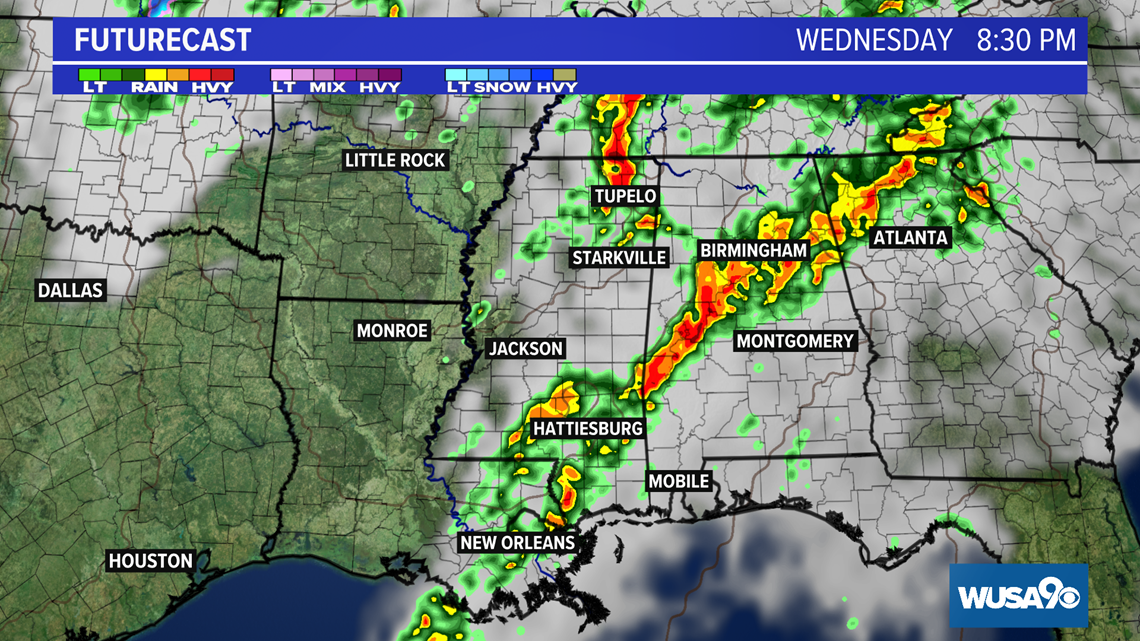

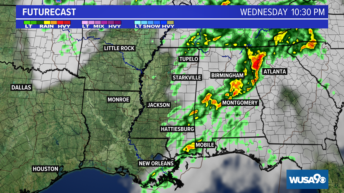

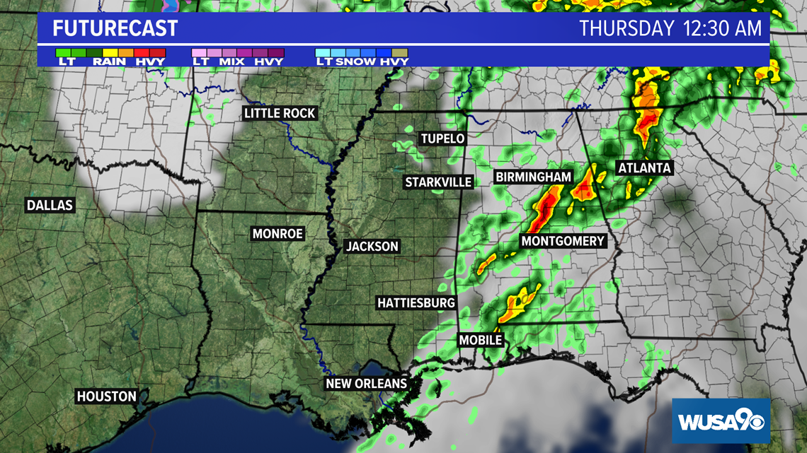


RELATED: How common are tornadoes in the DMV?
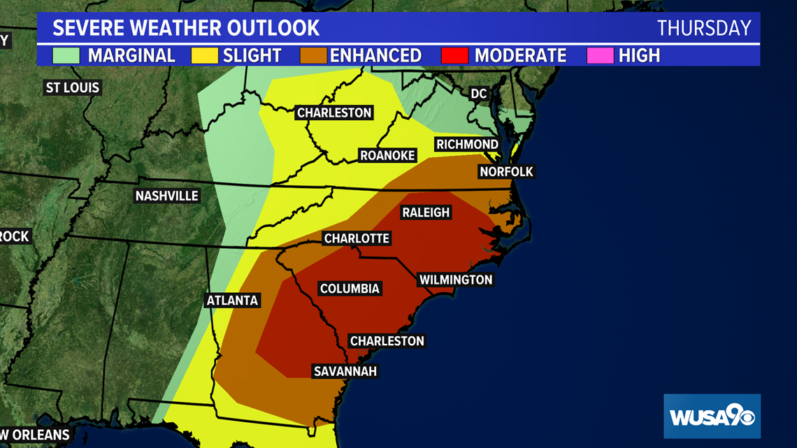
On Thursday, the highest threat for severe weather moves into the central and eastern part of Georgia, most of South Carolina and the eastern half of North Carolina.

