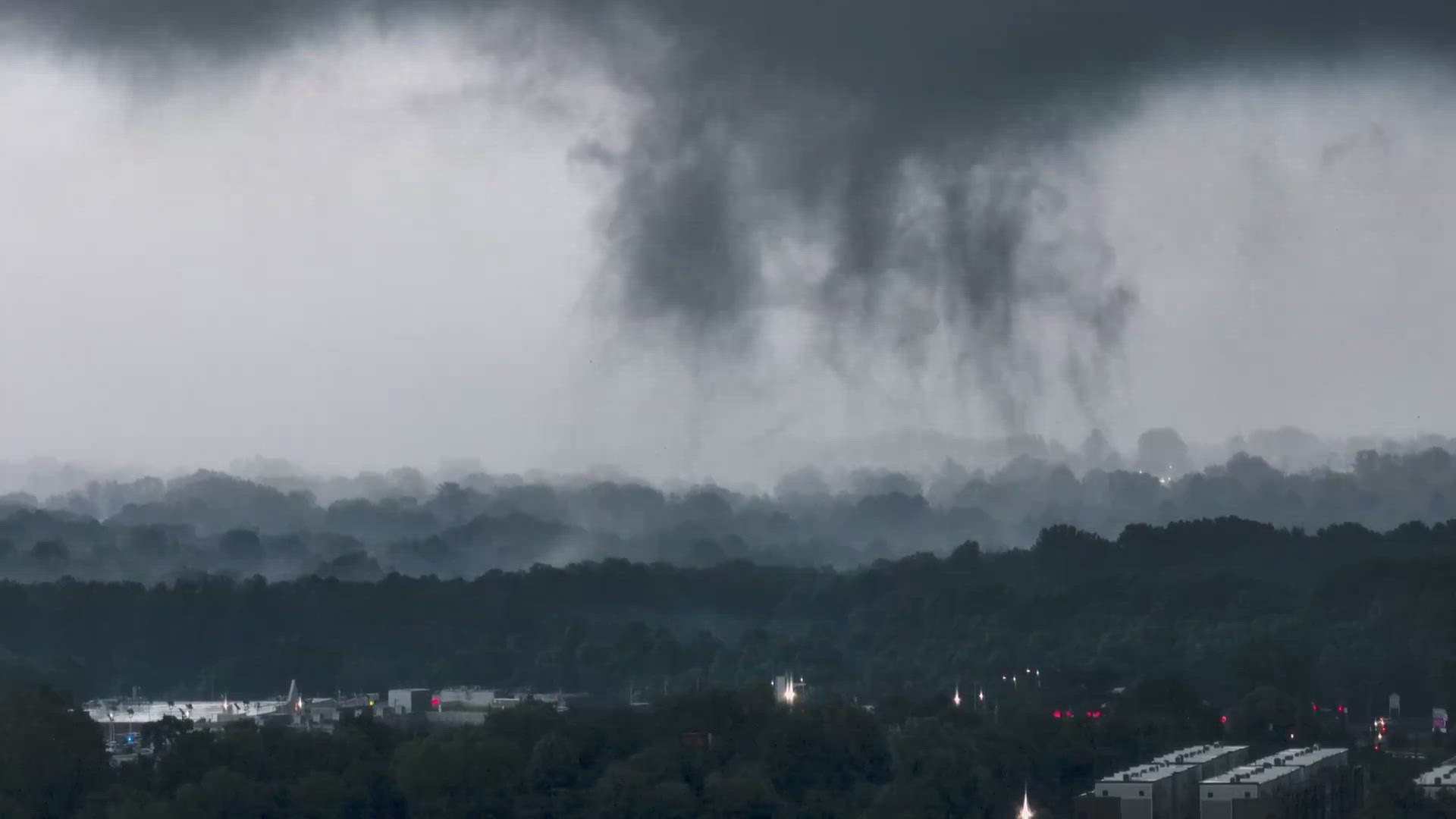
WASHINGTON — The National Weather Service confirmed Thursday night that multiple tornadoes touched down between Maryland, Virginia and West Virginia during severe weather Wednesday evening.
The National Weather Service (NWS) will continue to investigate and survey the damage but as of Thursday night they are confirming that seven tornadoes in total touched down in the three states.
Click here to read NWS's survey in full.
The tornadoes were confirmed in the following areas by NWS:
- EF-0 in Carroll County, Maryland
- 2 EF-1's in Baltimore County, Maryland
- EF-1 in Montgomery County, Maryland
- EF-1 in Howard County, Maryland
- EF-1 in Leesburg, Virginia
- EF-0 in Inwood, West Virginia
Leesburg, Virginia
The EF-1 tornado touched down in Leesburg at 6:42 p.m. NWS says the winds peaked at 95 miles per hour. The tornado was short lived at only a minute long.
According to NWS, the tornado touched down southwest of Garriland Driver, north of Leesburg, before moving into a wooded area and leaving behind broken trees. The storm funnel then moved just south of Garriland Drive and Turning Leaf Lane, where several trees were uprooting in various directions.
No injuries or deaths were reported. The only damages mentioned in the NWS report is minor vinyl damage and window damage, and a small shelter had the plastic roof ripped off.
Central Montgomery County, Maryland
The NWS survey says a mini-supercell formed southeast of the Leesburg tornado. Funnel clouds were spotted near John Poole Middle School of the EF-1 tornado.
While the Leesburg tornado only lasted for one minute and spanned a mile, the Montgomery County tornado formed as 7:14 p.m. and moved 12 miles before ending nearly 30 minutes later, at 7:42 p.m.
The first damage was surveyed at Tudor Farm along Whites Ferry Road, however, the tornado lifted before dropping again near the 16000 block of Darnestown Road. Many trees were downed, causing some blocked roads.
The storm then moved across Seneca Creek State Park.
"Staff at the Washington Suburban Sanitary Commissions (WSSC) Seneca Water Resource Recovery Facility witnessed the tornado moving west-to-east directly adjacent to the south of their facility where power lines leading to the facility were snapped causing the facility to switch to backup power," the NWS survey reads.
The storm then entered Gaithersburg. NWS says evidence left behind of the tornado was found near Gaithersburg High School.
In Old Town Gaithersburg, a large tree limb landed on top of St. Martin of Tours Church at the intersection of South Summit Avenue and South Frederick Avenue (MD-355). That was just the beginning of the damage the city would see.
"The housing development directly east of the Gaithersburg City Hall was particularly hard-hit, with seven houses being condemned from trees and branches falling onto them," the survey reads.
On Dogwood Drive, a large oak tree fell onto a home, injuring the five people inside.
Do you have a news tip on this story or any other story? We want to hear from you. Tell us about it by emailing newstips@wusa9.com.
MORE WAYS TO GET WUSA9
DOWNLOAD THE WUSA9 APP
Apple App Store: WUSA9 News on Apple
Google Play Store: WUSA9 News on Android
HOW TO ADD THE FREE WUSA9+ APP TO YOUR STREAMING DEVICE
ROKU: add the channel from the ROKU store or by searching for WUSA9.
For both Apple TV and Fire TV, search for "WUSA9" to find the free app to add to your account. Another option for Fire TV is to have the app delivered directly to your Fire TV through Amazon.
SIGN UP TO RECEIVE WUSA9 NEWSLETTER
Subscribe to our daily WUSA9 Newsletter for top stories from WUSA9 curated daily just for you. Get content and information right now for can’t-miss stories, Commanders content, weather, and more delivered right to your inbox.

