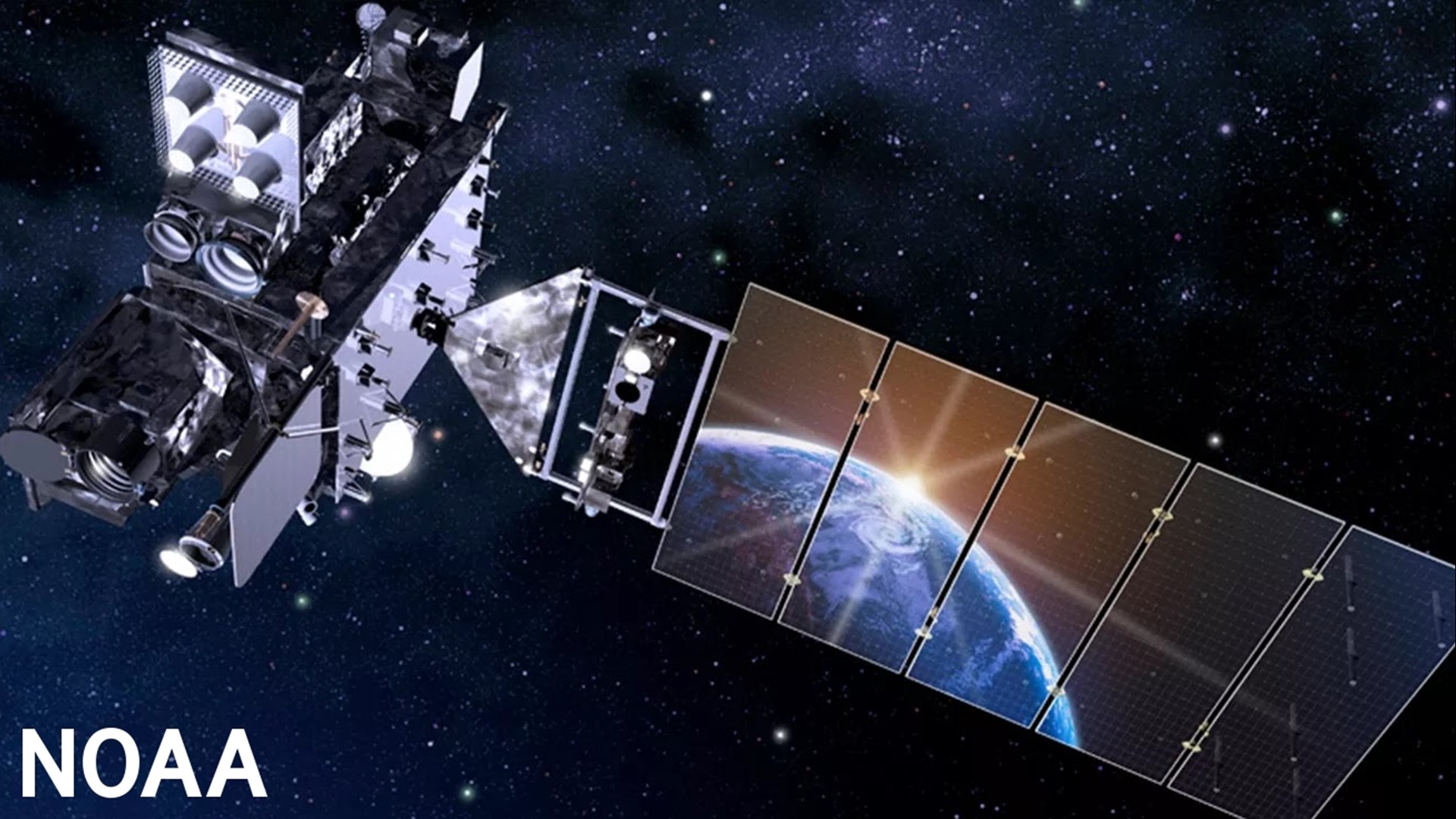
WASHINGTON D.C., DC — On Tuesday, NOAA and NASA launched the GOES-T Satellite from Cape Canaveral Space Force Station in Florida. This is the third in a series of Geostationary Operational Environmental Satellites to orbit the earth.
Once in the proper position over the Western Hemisphere, GOES-T will be renamed GOES-18. This satellite will provide crucial new weather data for the west coast of the United States, Hawaii, Alaska, and most of the Pacific Ocean.
The GOES-T satellite is equipped with some of the most advanced technology that will help track new weather patterns, identify intense and potentially damaging thunderstorms, and monitor tropical storms and hurricanes in the Pacific Ocean.
Krissy Hurley, the Warning Coordination Meteorologist at the National Weather Service Office in Nashville, spoke about the capabilities of GOES-T. “The coverage across the ocean is going... quite phenomenal.”
In addition, the GOES-T environmental satellite will be able to track wildfires and provide more detail on atmospheric phenomena like monsoons, atmospheric rivers, and dust storms.
One of the newest features the GOES-T provides is its ability to track and monitor space weather. Space weather like solar flares can have significant impacts on the electric grid and GPS (Global Positioning System) systems.
Hurley then spoke to one of the best features of GOES-T - its accessibility.
“Everyone has access to the data online and forecasters can use it. It comes in so quickly and the resolution is so great that it definitely helps us improve our forecasts and our warnings to help save lives.”
GOES-T is expected to be fully operational early next year.

