WASHINGTON — Cold air is moving into the region Thursday, but not fast enough to change the rain over to snow in many areas. A few areas have seen a few flakes, but it has been mostly rain as temperatures in many areas were above freezing. This caused the snow to melt on the way down. Temperatures however will continue to melt through the day.
First things first
Arctic air is moving in, but it many areas it is coming too late to change the rain over to snow. The set up for snow was not exactly ideal. It's better to have cold air already in place when a disturbance is coming through rather than waiting for the air to cool off. Rain and snow will wrap up by early afternoon. Temperatures will continue to drop during the day. Temperatures will be in the 20s by 8 p.m.
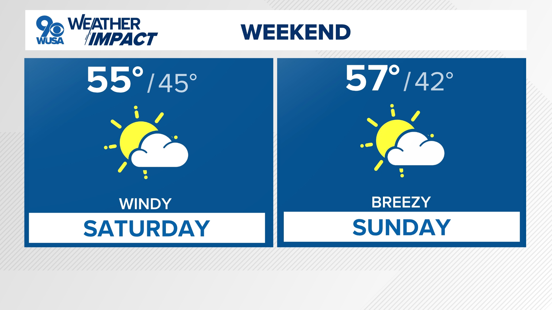
Weekend outlook
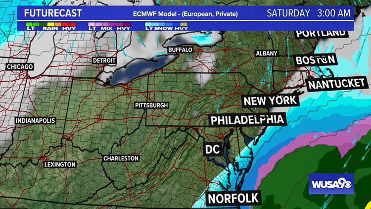
Don't count on snow across most of the area Saturday. A coastal storm will form but stay too far east of the area to bring us snow. Southern Maryland and Delaware will see some snow late Friday night into early Saturday morning. The rest of the region will just get clouds.
Models are in good agreement that we won't see anything from this storm.
GFS
The American Model has never been excited about this storm keeping it offshore. That trend continues posing no threat to our area with any snow with some snow in far, far southern Maryland and southern Virginia.

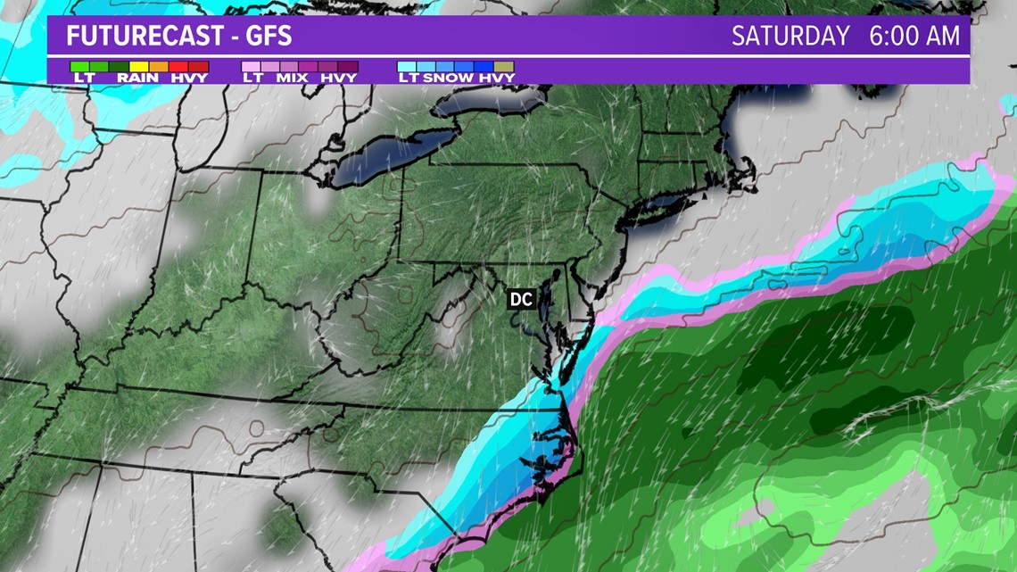
Snow potential through Saturday.

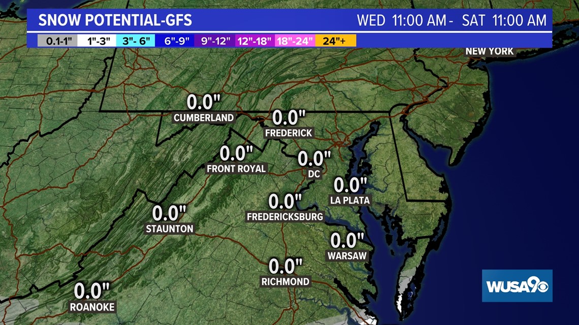
Euro
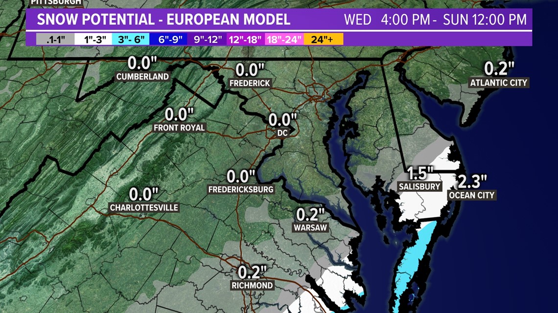
The European solution brings the storm slightly closer but the snow chances stay in southern Maryland and Southeast Virginia.

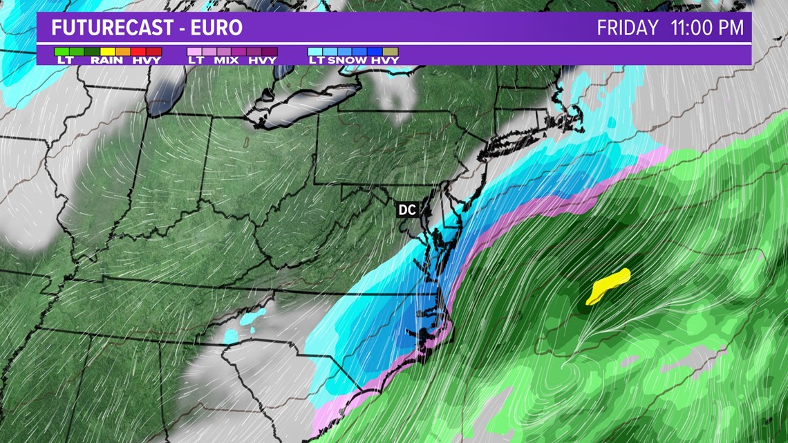
Snow potential through Saturday.

Our snow chances don't stop there. We're watching a potential clipper system for early next week that could bring a period of rain and snow Tuesday.
A lot of winter weather over the next week so check back in for forecast updates!


