WASHINGTON — Some of the storms may be severe this evening, bringing impacts to our region, especially to outdoor holiday plans.
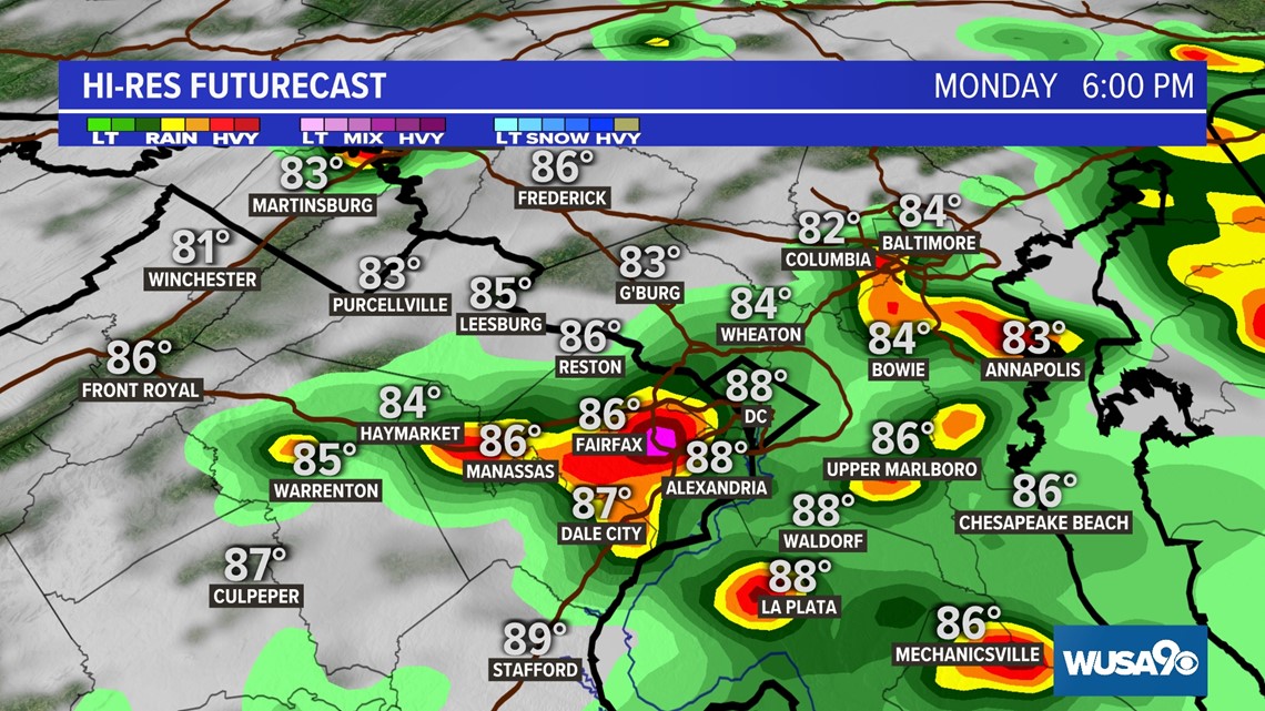
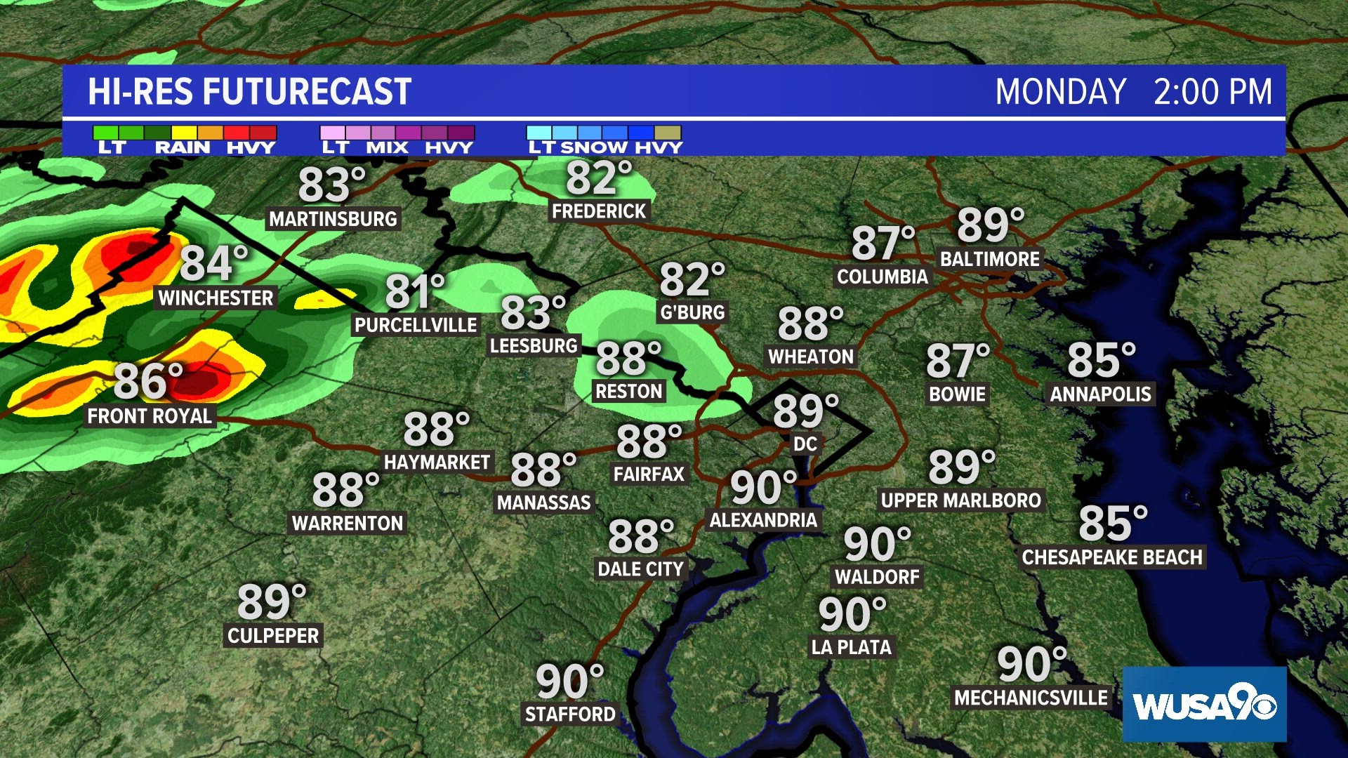
The front arrives this afternoon, with thunderstorms expected to develop after midday. Most areas will see rain, however not all parts of the D.C. region will get severe weather.
Storms will clear away overnight, leaving us with a generally nice and dry Fourth of July.
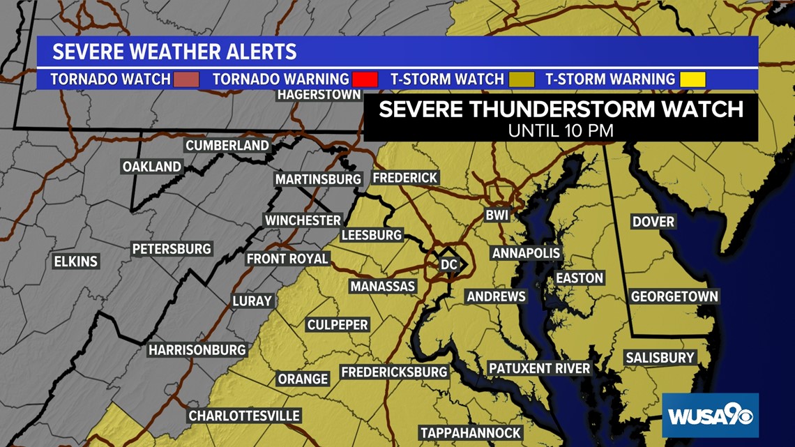
A Severe Thunderstorm Watch has been issued for parts of the DMV until 10 p.m. The Watch will continue to get trimmed back as the severe threat eases.


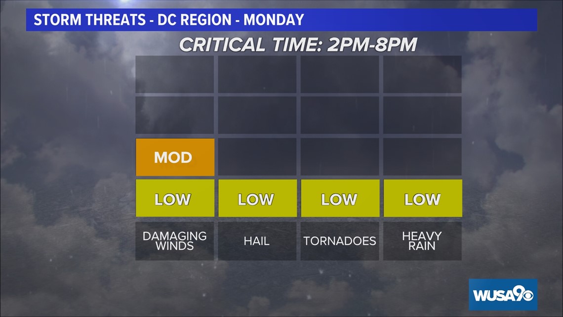
Now to 8 p.m. Monday
A few more storms will rumble through. Watch for strong thunderstorms, some with high and possibly damaging winds. Additionally, there will be an isolated tornado and hail threat in this period. Downpours are possible, however widespread flooding is unlikely.


8 p.m. Monday and later
Storms will ease somewhat, clearing by midnight. While there may still be a few stronger thunderstorms, the severe weather threat will lessen and go to zero by late evening. The cold front will move east, out of our region during the evening hours.

