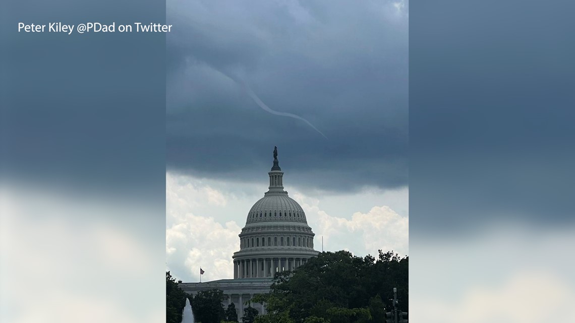
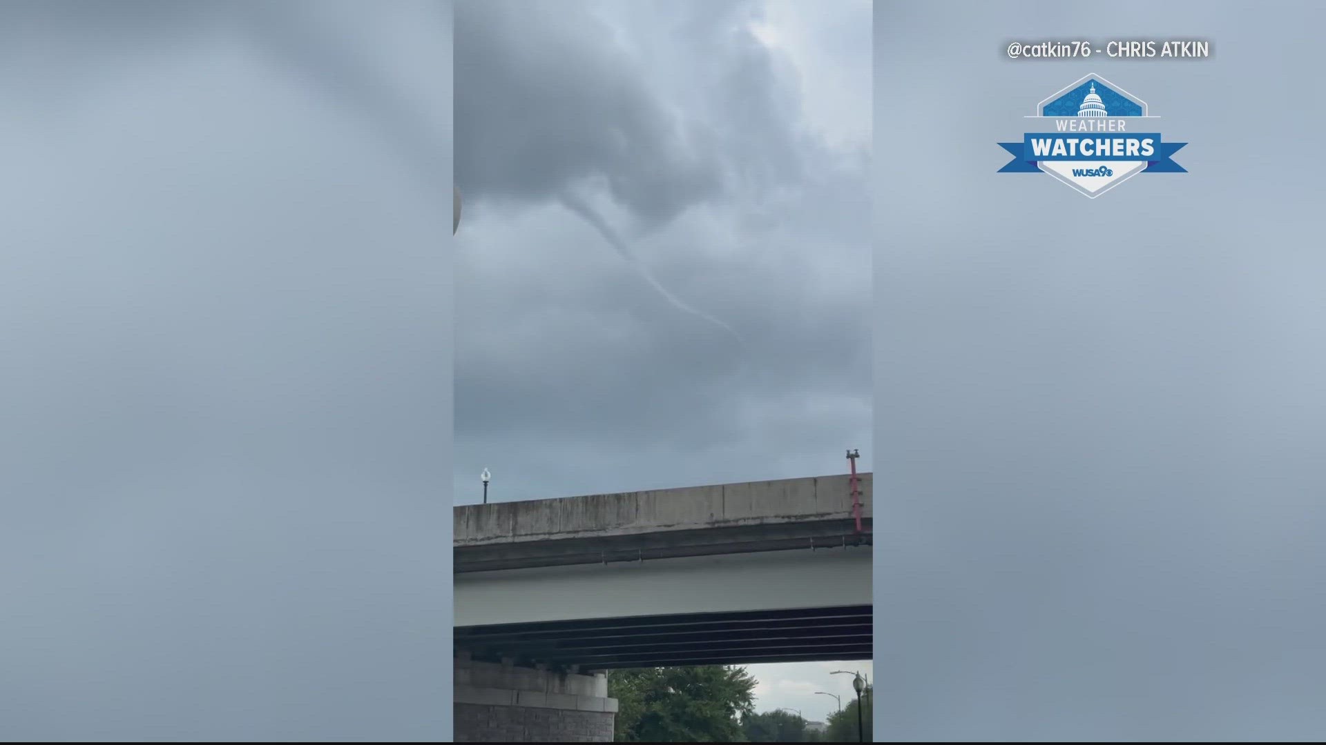
WASHINGTON — D.C.-area residents and tourists alike got a rare treat if they were downtown this afternoon.
Early Tuesday afternoon as a line of thunderstorms passed through the District, onlookers were treated to what looked like a funnel cloud, the precursor to a tornado, near the U.S. Capitol.
Although it looked like a funnel cloud, it was actually something more unusual known as a “cold-air funnel.” According to the National Oceanic and Atmospheric Administration (NOAA), these weak funnels most often form near weak showers or thunderstorms when there is very cold air in the lower levels of the atmosphere.


The key difference between a traditional funnel cloud that becomes a tornado when it reaches the ground, and a “cold-air funnel” is that cold-air funnels don’t reach the ground and often lack the rotation that’s required in a developing tornado.
The National Weather Service doesn’t issue tornado warnings for them since they don’t usually reach the ground and are often very weak. However, every once it a while they can reach the ground but with little or no significant impacts.
Such was the case today with little more than something for onlookers who were downtown to take pictures and videos of.

