CAMBRIDGE, Maryland — The launch of the 2024 hurricane season has put a focus on climate factors including unprecedented warm ocean temperatures that are elevating the risk.
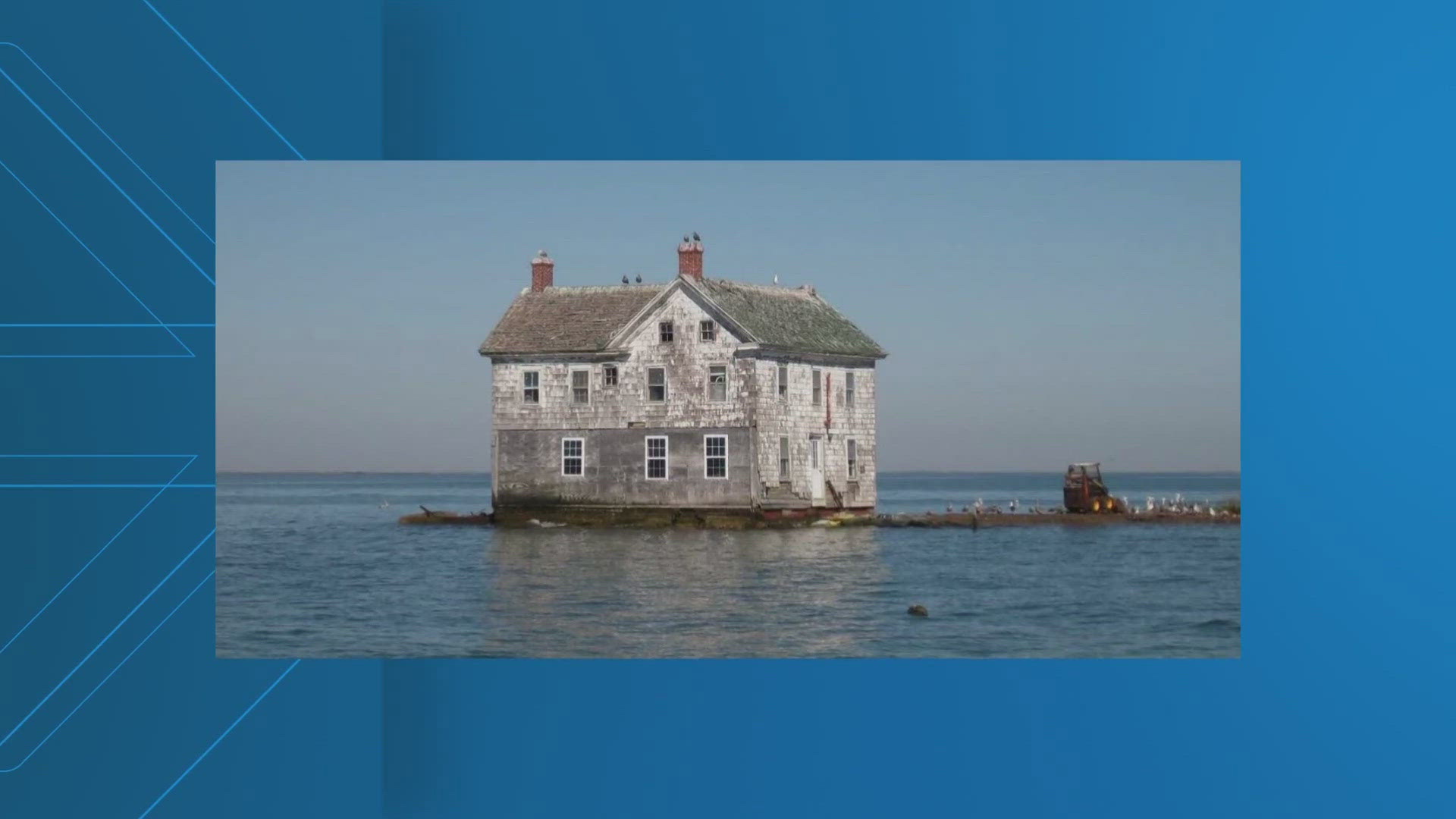
Another danger factor in the coming years is the trend toward higher sea levels, which will make hurricanes statistically even more destructive.
And that puts the focus on the Chesapeake Region.
The National Oceanographic and Atmospheric Administration (NOAA) has interactive mapping that can be chilling to look at if you live in low-lying, flood-prone parts of the region.
"A vulnerable place like Maryland is going to be the frontline of building climate resilience," says Bill Dennison, President of the University of Maryland Center for Environmental Science.
In its most recent report, UMCES predicts sea level will rise in the Chesapeake region between 1 foot to 1.6 feet by 2050.
NOAA's interactive mapping shows dramatic effects.
Waterfront open space around Belle Have in Alexandria goes underwater. The same goes for a big section of the Joint Base Anacostia-Bolling. Street Flooding on Kent Island, Maryland is predicted by the mapping tool. And in low lying Dorchester County, Maryland on the Eastern shore, vast parts of the marshy county simply disappear in the next 25 years.
“Even if we were to cut up carbon emissions tomorrow, the trajectory for sea level rise is going to continue through the century. So the train left the station, we've got to deal with this, regardless of what we do in terms of mitigation," Dennison said.
One result is that hurricanes stand to be far more destructive as the sea level inches higher.
Solutions include raising seawalls, improving drainage and buying out properties that are impractical to save.
The insurance industry is already reacting with skyrocketing rates.
Maryland is particularly vulnerable to rising sea levels because of its nearly 3,200 miles of shoreline thanks to America’s largest Estuary, the Chesapeake Bay.
WATCH NEXT: Commuters react to Metro Red Line shut down

