
MIDDLE RIVER, Md. — NASA is conducting low-altitude research flights over parts of Maryland, Virginia and Pennsylvania as heat grips the region and amplifies the effects of air pollution.
The missions are designed to collect data on pollution sources and confirm observations made from satellites monitoring pollutants.
The week's heat wave is likely to intensify the pollution, according to atmospheric scientists.
The agency is alerting residents to the possibility they may observe aircraft orbiting neighborhoods at unusually low altitudes as the data is collected.
The research aircraft will conduct maneuvers including vertical spirals from 1,000 to 10,000 feet, circling over power plants, landfills, and urban areas. They will also occasionally conduct “missed approaches” at local airports, where the plane performs a low-level flyby over a runway to collect samples close to the surface.
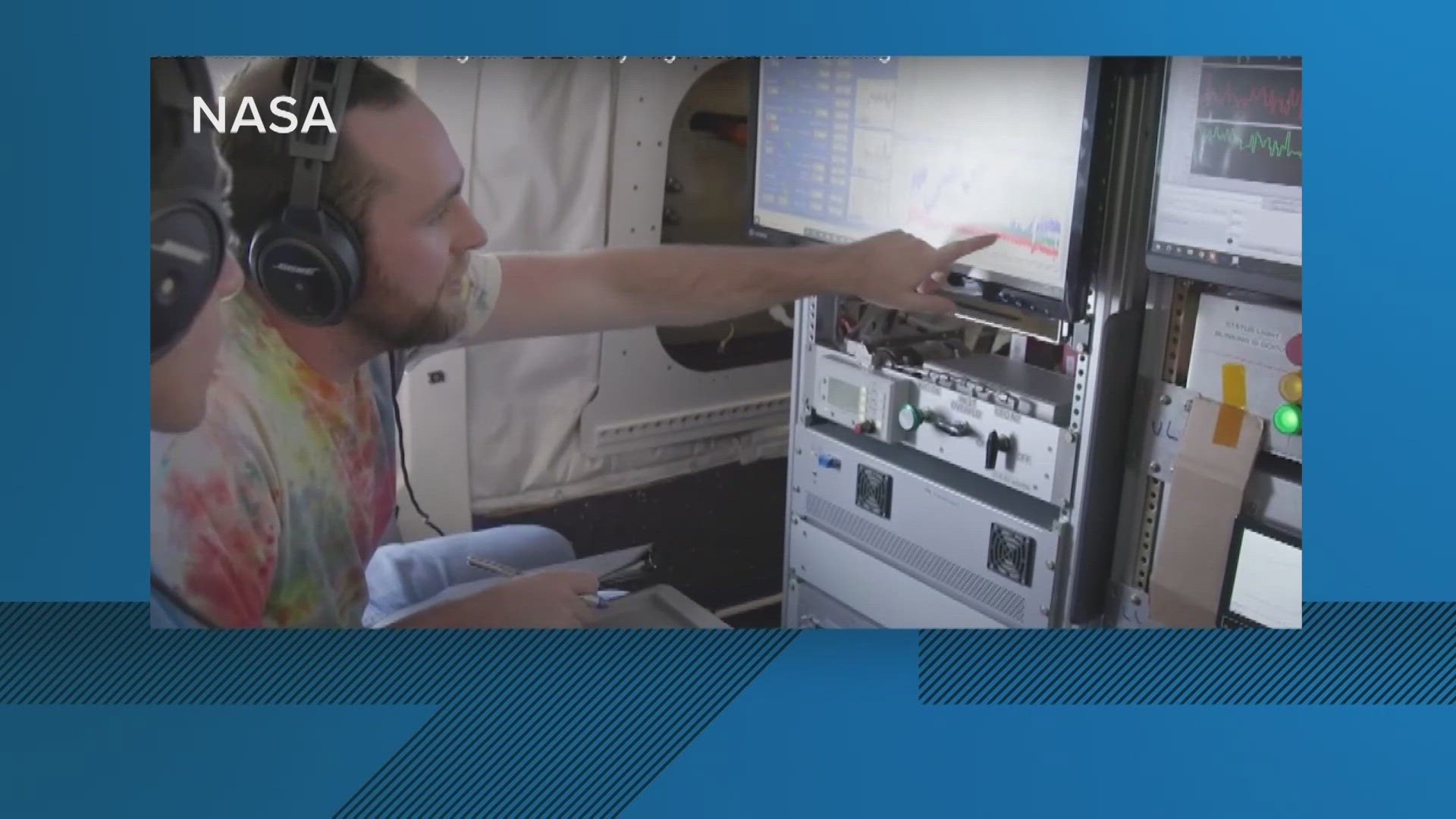
Researchers and students will fly multiple times each week in a grey King Air B200 plane over Baltimore, Philadelphia, Norfolk, Hampton, Hopewell, and Richmond. Meanwhile, a NASA P-3 aircraft based out of NASA's Wallops Flight Facility in Virginia will fly over the same East Coast locations to collect different measurements.
NASA Goddard Atmospheric Chemist Glenn Wolfe is overseeing the flights which are launching from Martin State Airport in Baltimore County.
“You're gonna see us flying in about 1,000 feet. It's much lower than most commercial aircraft fly. We're doing that because we want to be down close to the surface where people are breathing the air," Wolfe explained.
Atmospheric Scientist Russ Dickerson of the University of Maryland heads the Regional Atmospheric Measurement Modeling and Prediction Program, and is a member of the Maryland Climate Change Commission. Dickerson explained that hot summer weather accelerates chemical reactions in the atmosphere that convert pollutants from vehicles, power plants and other sources to produce ground-level ozone.
Ground-level ozone is particularly harmful to respiratory health and is regulated by the US EPA, which sets attainment standards for regions to meet.
"The hotter it gets, the more likely you are to have an ozone event. And climate change is making heat waves more frequent," Dickerson said.
Meteorologist Joel Dreessen of Maryland’s Department of Environment uses computer models based on decades of monitoring data, and weather forecasts to warn the public about air quality threats.
Dreessen explains that the chemical reaction in the atmosphere takes hours to occur, so that the ozone becomes more intense as polluted air drifts downwind from major urban cores.
“When we forecast, we're really looking at where the winds are going to be blowing. And that's going to tell us where the urban plume is going. On a typical summer day, the surface winds are from the southwest so you're tending to blow the urban emissions from D.C. toward Beltsville and up the I 95 corridor.
Dickerson said climate change and heat is pushing back on decades of progress cleaning the air.
“We've made a lot of progress reducing emissions, but if we have more heat waves, it's going to be harder to keep the ozone levels down," Dickerson said.
According to the Environmental Protection Agency and Centers for Disease Control and Prevention, the most effective way to reduce risk to lung-irritating ozone is to pay attention to air quality alerts, and limit exposure outside when conditions are bad.
Indoor air filters and masks do little to limit ozone exposure, but they do help with particle pollution from smoke, dust and soot which are also being made worse as climate change increases the incidence of wildfires on the continent that blow smoke over our region. Current wildfires in New Mexico are sending pollutants into the region, according to scientists conducting the NASA research flights.
The planes carry instruments that will collect data on a range of greenhouse gases including carbon dioxide and methane, as well as air pollutants such as nitrogen dioxide, formaldehyde, and ozone. One purpose of this campaign is to validate space-based measurements observed by the Tropospheric Emissions: Monitoring of Pollution (TEMPO) mission. Launched on a commercial satellite in April 2023, the TEMPO instrument provides hourly daytime measurements of air pollutants across the United States, northern Mexico, and southern Canada.
The flights support the Student Airborne Research Program (SARP), a long-standing student internship program for undergraduates. The flights in the region will continue until June 26.