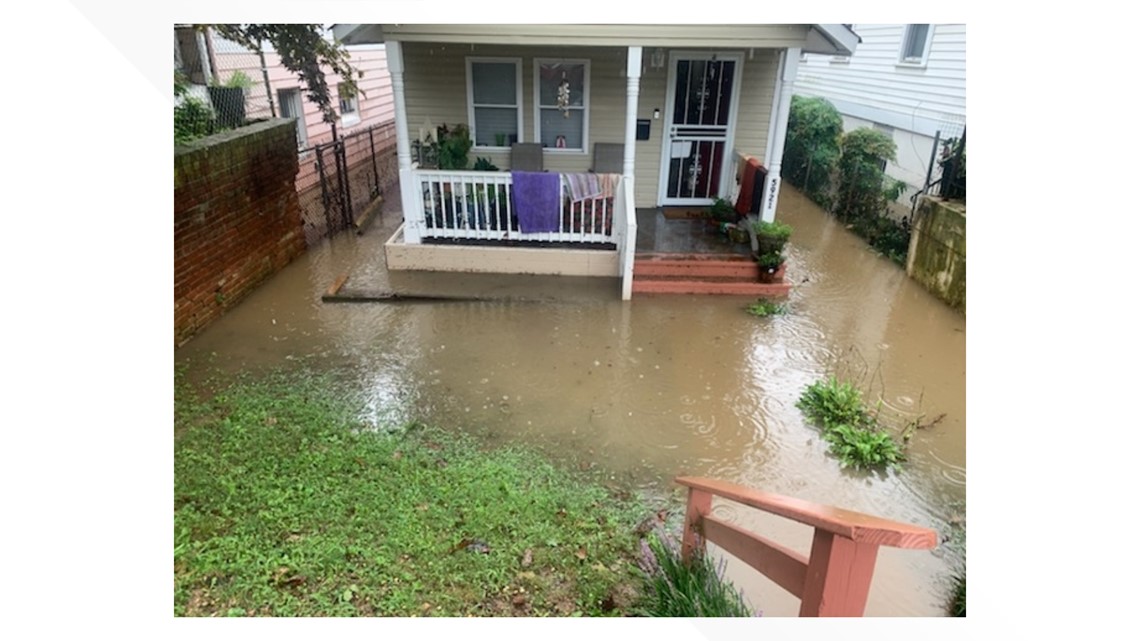
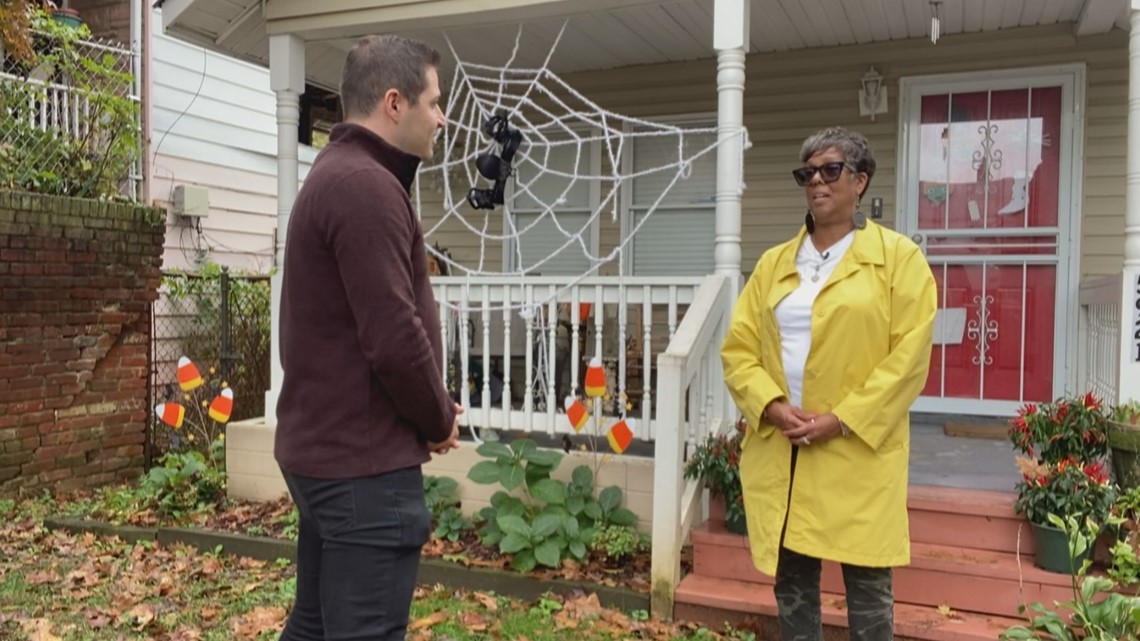
WASHINGTON — “Each time when it rains, I cringe," Deborah Wiggins, who lives by Watts Branch creek, lives in a 100-year floodplain.
Sept. 10, 2022, was an exceptionally rainy day.
"The water was swirling around the front yard, and there was nothing we could do but look at it," she said. "It was just really surreal. And within minutes, my house had three feet of water in it."
D.C. suffered a one-two punch, with heavy rainfall and backed-up storm drains.
"On the afternoon of Sept. 10, 2020, a significant rainfall event impacted the D.C. metro region, with rainfall amounts between 2” and 6” depending on location," a DC Water report reads. "...Blue Plains WWTP, the Anacostia and First Street Tunnels and the collection system were utilized...However, the September 10, 2020 rainfall exceeded the capacity of the system, which was the proximate cause of flooding."


To address flooding events like these The Office of the City Administrator created the DC Flood Task Force.
Wiggins wanted to talk to us because she heard that the task force is proposing a new flood map, and in doing so, removing some homes in Wards 7 and 8 from the flood zone.
Let's VERIFY, is that true?
THE QUESTION:
Is DC government proposing to remove hundreds of homes and buildings from the flood zone in Wards 7 & 8?
THE SOURCES:
- Nicholas Bonard- Regulatory Review Division at D.C. Department of Energy and Environment
- DC Flood Task Force website- finalized action plans for Watts Branch and Oxon Run
THE ANSWER:
Yes, because the DC Flood Task Force says they have more accurate modeling that shows parts of DC's map, which was last updated in 2010, is outdated.
WHAT WE FOUND:
We spoke with Nicholas Bonard, who is DOEE's chief of floodplains, wetlands and groundwater, and looked at information on the task force website. Both confirmed some homes in Wards 7 and 8 may no longer officially be in a flood zone.
According to plans on the task force website that were approved, 249 structures would be removed from the 100-year floodplain in the area of Watts Branch stream. Thirty-four houses, businesses and buildings would be removed from the 100-year floodplain near Oxon Run.
That matters because if you’re not in the 100-year floodplain with a federally backed mortgage, you’re not required by FEMA to get flood insurance. You can still purchase a plan if you want it.
"Homes in the 500-year floodplain are not required to purchase insurance unless their lender chooses to require a flood insurance policy," a FEMA spokesperson said. "Also, good to note that anyone who lives in a community that participates in the [National Flood Insurance Program] is eligible to purchase flood insurance. There is often a misconception that you can only get an NFIP policy if you live in the 100-year floodplain, but that is not the case."
The spokesperson also said, "there is always a chance that a lender may require flood insurance on a mortgage even if it is outside the [Special Flood Hazard Area/100-year floodplain], but that would be a lender requirement."
Oxon Run and Watts Branch are the only areas with proposed changes. That's because the DOEE had previous, ongoing projects that required updated maps.
Nicholas Bonard spoke about this in a public task force meeting.
"The maps that the Army Corps had created are using a little bit better data, they have some additional surveys that ...FEMA didn't have before," he said. "So this is really just trying to get the best and latest data in the hands of the residents and FEMA."
The Oxon Run and Watts Branch projects involved a climate change study that showed today's 500-year floodplains will be more like 100-year floodplains by 2080. DC Government was also studying how to make the area more resilient to flooding near Watts Branch.
Bonard said the U.S. Army Corps of Engineers is still finalizing the map, so we can't verify exactly which houses and buildings will be affected, just yet.
"DOEE plans to submit the new maps to FEMA in the next year, but can’t opine on timelines after that," he said. "Part of the process of updating maps includes outreach to the affected neighborhoods and property owners which DOEE has yet to conduct."
Property owners that will be mapped out of the 100-year flood plain, will be notified individually, he said.
Wiggins said she's definitely keeping her flood insurance, whether it’s required or not. She fears some neighbors may cut the flood insurance if they’re moved out of the flood zone and come to regret it.
“If you don't have the flood insurance, and the flood hits your home, you're not going to be able to recover," Wiggins said.


FEMA says flooding can happen anywhere. From 2014-2018, they said flood insurance policyholders filed more than 40% of all NFIP flood insurance claims.
In fact, from 2014 to 2018, policyholders outside of high-risk flood areas filed over 40 percent of all NFIP flood insurance claims and required one-third of federal disaster assistance for flooding.
"Having flood insurance can be the difference between recovery and financial devastation, and we recommend that all property owners consider it, even if they are outside a mapped floodplain," Bonard said.
The updated flood map still needs to get approval from FEMA, for the flood map to officially change.

