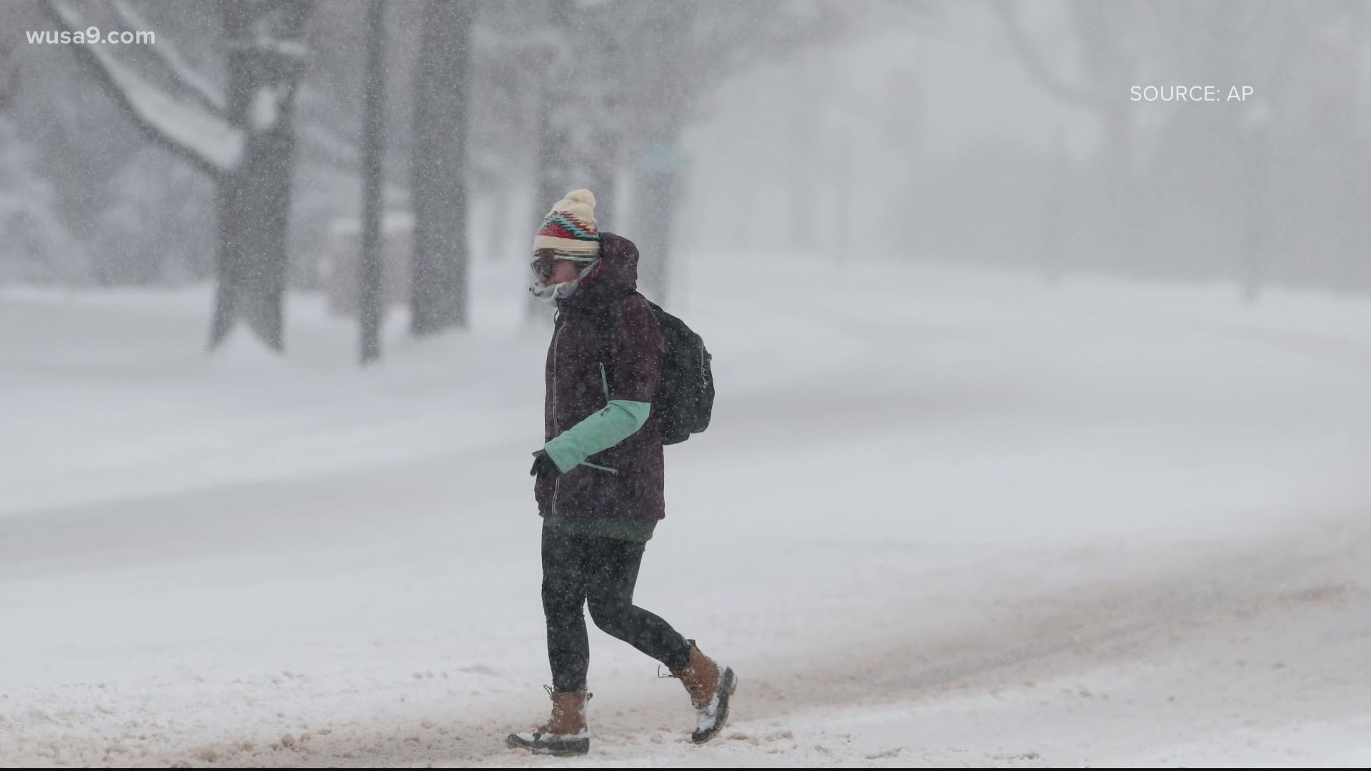
PRINCE WILLIAM COUNTY, Va. — Prince William County Schools has canceled all school learning, in-person and digital. It has also closed all offices and school buildings for Wednesday's winter storm, according to the school district.
Areas north and west of D.C. such as northern Loudoun, northern Montgomery, Fairfax, Manassas, Frederick, could pick up 3 to 6 inches as these areas will also be favored for cold air, but could also get some mixing that would cut down on snow totals.
D.C., Prince George's County, and areas near D.C. could pick up on a trace to an inch of snow. This area has more potential to get rain. Numbers could go up or down, depending on where the rain/snow line sets up.
Winter Storm Timeline Wednesday - Thursday:
7 a.m. - 10 a.m. Rain and snow slowly begin to fall across the region.
10 a.m. - 12 p.m. - More areas see rain and snow and some sleet mixing in.
12 p.m. - 6 p.m. - Rain picks up in D.C. and areas south, snow gets a little heavier in northern suburbs.
6 p.m. - 12 a.m. - Rain, snow continues with some sleet and freezing rain mixing in some areas. Most of the mixing will be along the rain/snow line.
12 a.m. - 5 a.m. Thursday - Areas that had rain begin to transition to a little snow before the storm pulls away. Most precipitation ends by 5 a.m.
After 5 a.m. A few flurries and light snow showers are possible Thursday.

