ALEXANDRIA, Va. — Alexandria City Public Schools will go strictly virtual learning for Wednesday and said food distribution and child care at ACPS buildings will be canceled for the day.
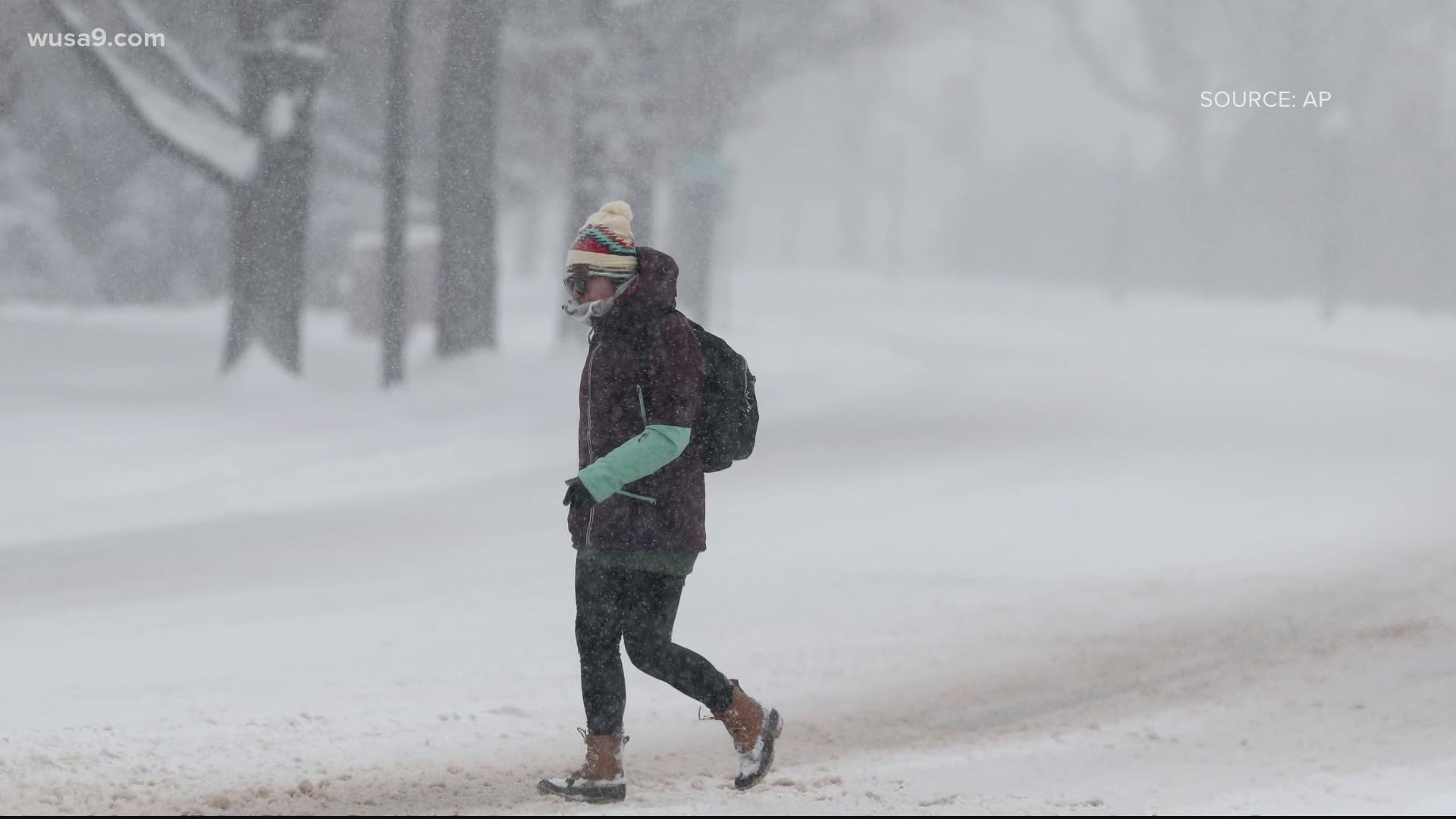
Areas north and west of D.C. such as northern Loudoun, northern Montgomery, Fairfax, Manassas, Frederick, could pick up 3 to 6 inches as these areas will also be favored for cold air, but could also get some mixing that would cut down on snow totals.
The National Weather Service has issued a Winter Storm Watch for Wednesday covering parts of Cecil, Howard, Baltimore, Harford, Montgomery, Loudon, Fairfax, Prince William, Fauquier, Rappahannock and Rockingham Counties from 7 a.m. Wednesday until 4 a.m. Thursday.
D.C., Prince George's County, and areas near D.C. could pick up on a trace to an inch of snow. This area has more potential to get rain. Numbers could go up or down, depending on where the rain/snow line sets up.
Winter Storm Timeline Wednesday - Thursday:
7 a.m. - 9 a.m. Rain and snow slowly begin to fall across the region.
9 a.m. - 12 p.m. - More areas see rain and snow and some sleet mixing in.
12 p.m. - 6 p.m. - Rain picks up in D.C. and areas south, snow gets a little heavier in northern suburbs.
6 p.m. - 12 a.m. - Rain, snow continues with some sleet and freezing rain mixing in some areas. Most of the mixing will be along the rain/snow line.
12 a.m. - 5 a.m. Thursday - Areas that had rain begin to transition to snow. This will be the best opportunity for D.C. to see accumulating snow.
After 5 a.m. A few flurries and light snow showers and light rain linger until late morning. Precipitation begins to wind down.


