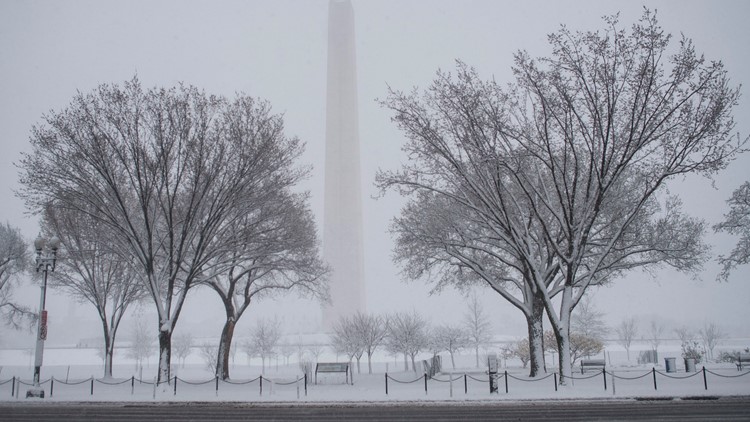
WASHINGTON — A Snow Emergency has been declared in D.C. for Sunday's major winter storm.
Mayor Muriel Bowser issued the emergency beginning at 9 a.m. Sunday through 6 a.m. Tuesday.
Issuing the snow emergency allows plow drivers to clear snow emergency routes curb to curb.
The emergency means drivers may not park on snow emergency routes. Vehicles parked on those routes may be ticketed and towed.
Find a map and list of the snow emergency routes at snow.dc.gov.
D.C.'s District Snow Team will begin preparing for the first significant snowfall in two years at midnight on Sunday, the mayor's office said.
Brine application crews will begin spraying the “hot mix” combination of brine and beet juice at midnight to reduce the temperature where ice bonds to the pavement. The Snow Team will deploy 147 heavy plows to apply salt to highways, streets, bridges, ramps, and other elevated structures, and 81 light plows that clear snow from smaller streets, the mayor's office said in a press release Saturday.
Residents and commuters are encouraged to register for important weather alerts from the District by signing up for AlertDC at alertdc.dc.gov.
As of Saturday, the District has not closed COVID-19 testing sites, and says pre-treatment and snow removal will happen at all municipal buildings, first responder locations, hypothermia centers, and homeless shelters.
If you see anyone in need of shelter during freezing temperatures, you're asked to call the Shelter Hotline at 202-399-7093, or dial 311.
Winter Weather Tips
- Find your snow shovel and make sure it is adequate for another snow season.
- Check your supply of abrasives – deicer, rock salt or non-clumping kitty litter – and get more if necessary. The District has used pet-friendly deicer on its pedestrian bridges for several years and found it to melt ice effectively and be easy on pets’ paws.
- Have enough over-the-counter and prescription medications for your family and pet(s).
- Make sure your gutters are cleared of leaves. You don’t want leaves to block the flow of rainwater that may freeze.
- Turn off all outdoor water faucets.
- Keep your vehicle’s fluids tanks – gas, water, antifreeze and windshield wiper – full.
- Have a flashlight, blankets, and scrapers in your vehicle before a storm begins.
The latest snowfall projections for the DMV region vary from three to five inches Sunday for most of DC, Maryland and Virginia, according to WUSA9 Chief Meteorologist Topper Shutt. Areas closer to the shore in the region will get between two inches to a dusting, according to the projections.
These projections are just for through 7 p.m. on Sunday, with more snow expected to possibly accumulate further on Monday.
Here's a closer look at the timing of the storm for the entire DMV region.
Sunday 2 a.m. - 4 a.m.: Light snow starts west of D.C.
Sunday 4 a.m. - 6 a.m. - Snow starts to cover most of DMV.
Sunday 6 a.m. - 4 p.m. - Snow over most of the DMV. Some mixing in southern Maryland after 3 p.m.
Sunday 4 p.m. - 7 p.m. - Areas south of D.C. start to get rain, sleet, freezing rain to mix in.
Sunday: 7 p.m. - 11 p.m. - Mostly snow north and west of D.C. More mixing from southern Montgomery and Loudon counties , D.C. and areas south.
Overnight Sunday - Monday : More mixing and still mostly snow along the Maryland and Pennsylvania border and areas west.
Monday: 3 a.m. - 6 a.m. Mixing from southern Loudon, southern Montgomery, D.C. Mostly rain south of D.C. with some mixing in areas such as Fredericksburg. Mostly rain along the Eastern Shore.
Monday: 6 a.m. - 9 a.m. - Some mixing continues south and east of D.C.
Monday 9 a.m. - 1 p.m. - Mixing continues, but some areas gradually start to transition back to snow after 11 a.m.
Monday 1 p.m. - 10 p.m. - Most areas start to transition back to snow.
Monday 10 p.m. - 5 a.m.Tuesday - Light snow and flurries continue.
Tuesday : 5 a.m. - 12 p.m. - Scattered light snow and flurries gradually ending.


