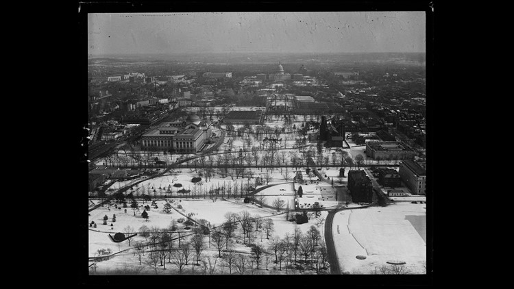
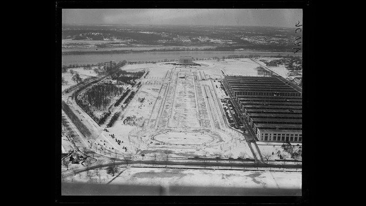
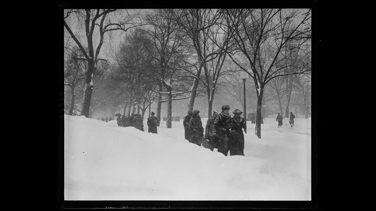
We're looking back at the worst winter storms in D.C.
Our WUSA 9 Weather Team has narrowed the list down to 15 storms that left the biggest impression on the DC area. Our criteria included snow amounts and impacts the events caused on transportation and quality-of-life.
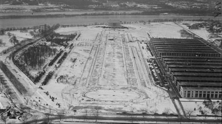
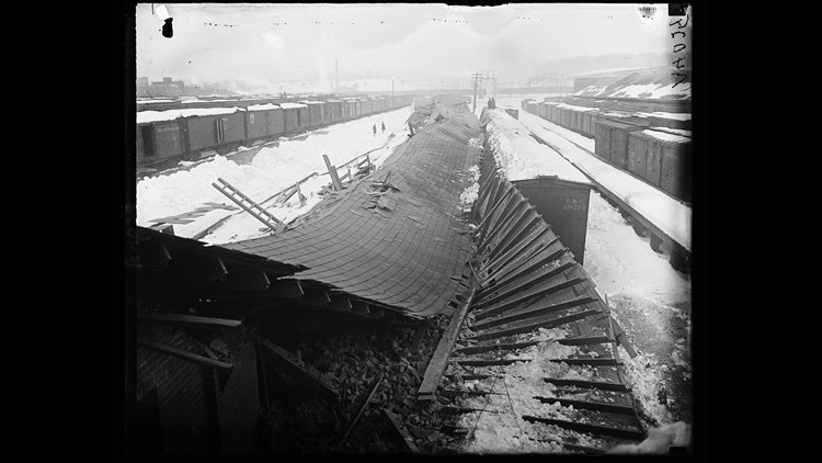
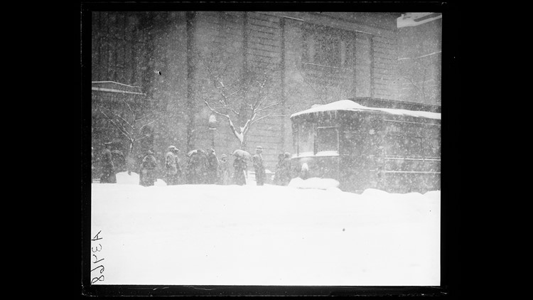
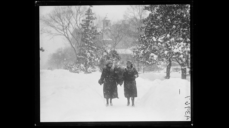
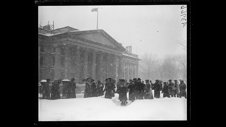
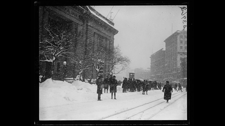
"The Great Blizzard Of 1899" - February 12 - 14, 1899
Photo: 6th Street SW DC, looking northward towards the Baltimore & Potomac Railway Station.
The start of 1899 was particularly cold and snowy, but it was The Great Blizzard of 1899 that was DC’s worst blizzard on record at the time. From February 5, 1899 to February 8, 1899, Washington, D.C. had several bouts of cold and snow that preceded one of the most prolific cold air outbreaks in history for the Eastern United States. On the morning of Saturday, February 11, Washington, D.C. had its coldest morning on record at -15°F, and surrounding rural locations dropped as low as -25°F.
Snow began to fall at noon on Saturday, February 11 and did not end until the night of Monday, February 13. The official snow total at the Weather Bureau office in DC was 20”, but there are reports from local newspapers that the total may have been 30” in some locations. The Evening Star Newspaper reported blizzard conditions with wind gusts of 36 mph, and snowdrifts that were at times 6 to 8 feet high.
Snow not only stretched from the Mid-Atlantic and Northeast, but measurable snow from this storm was observed as far south as Tampa, Florida.
In the Nation’s Capital, the city was essentially shut down due to the record snowfall and streetcars that could not operate. What little money residents had saved for ‘rain days’ was quickly gone, and food began to run low in the city. The frigid cold continued for several days after the snow had finished that insured no melting occurred right away.
The frigid cold that enveloped much of the country led to many frozen rivers. Ice was even observed floating down the Mississippi River from New Orleans out into the Gulf Of Mexico on February 19.
Photo: Snow Totals Map from February 12 - 14, 1899. App Users CLICK HERE

"The Knickerbocker Storm" - January 27 - 29, 1922
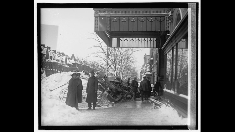
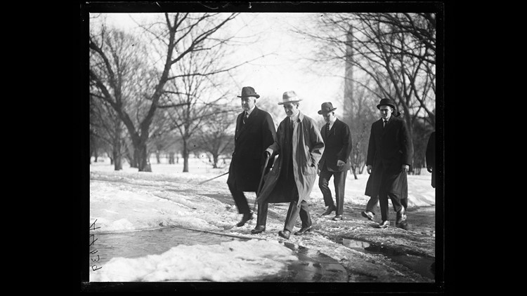
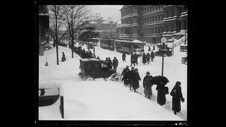
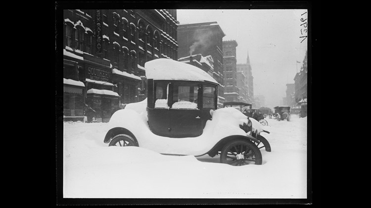
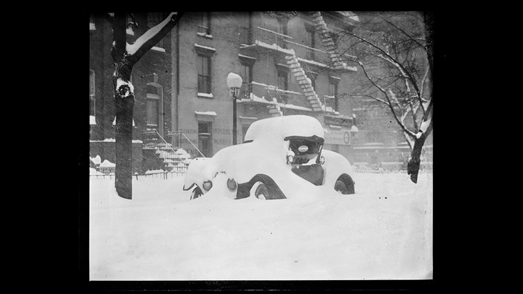
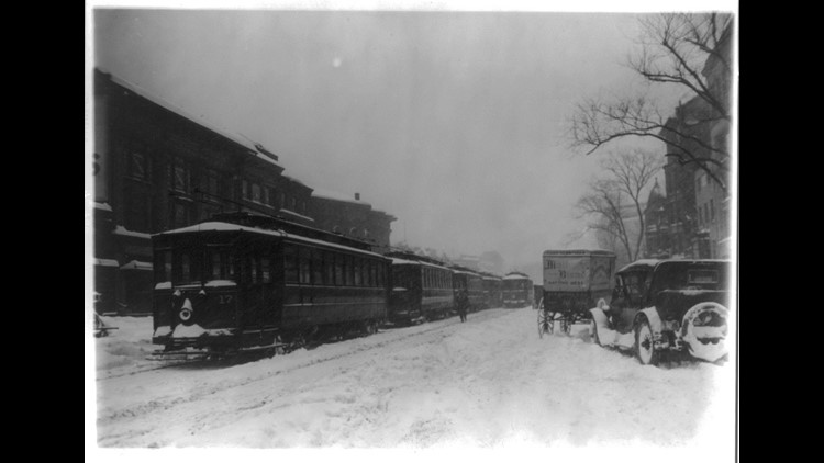
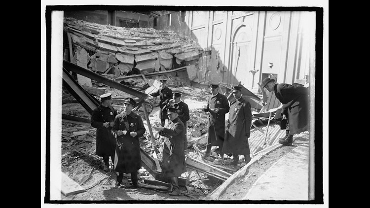
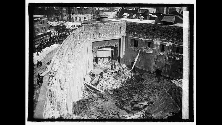
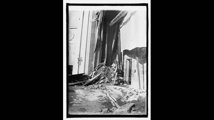
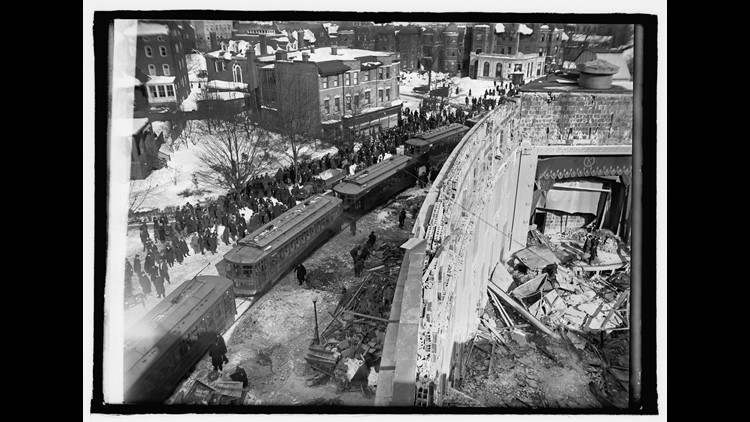
Photo Gallery: DC after 1922 Knickerbocker Storm. App Users CLICK HERE.
PHOTOS: 1922 KNICKERBOCKER STORM
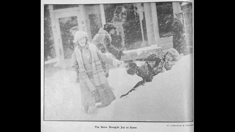
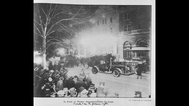
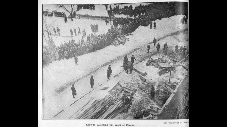
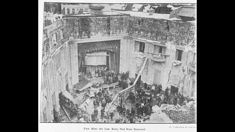
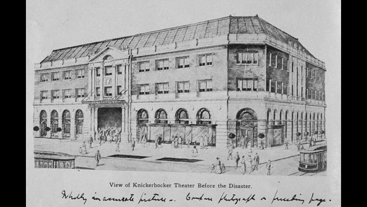
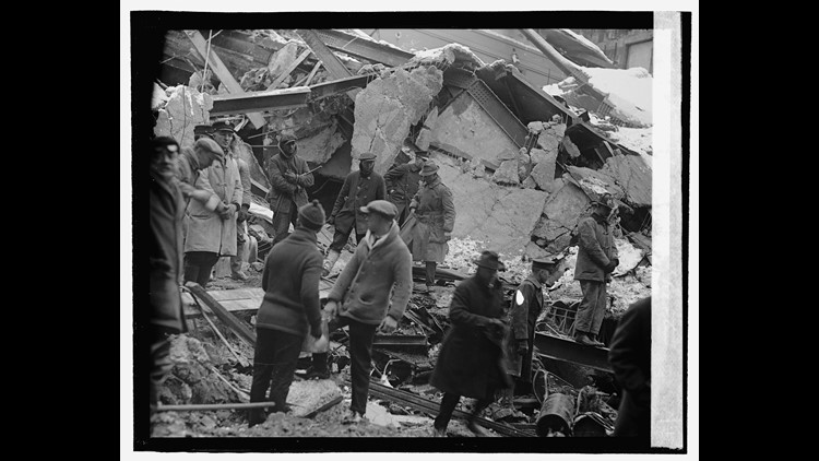
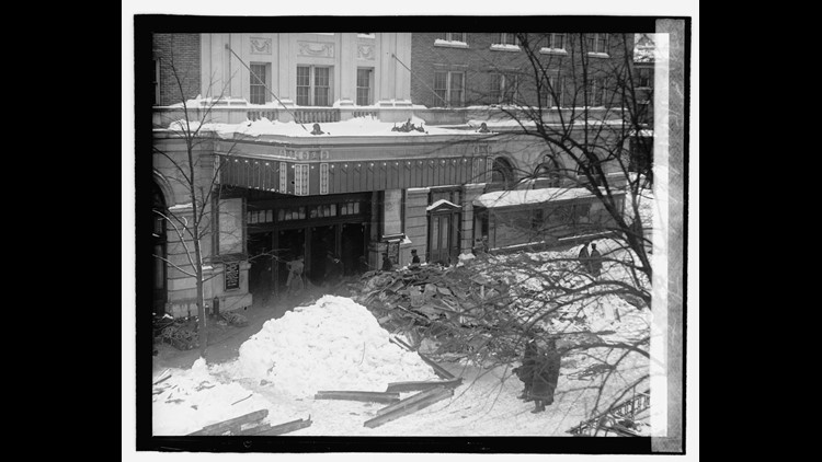
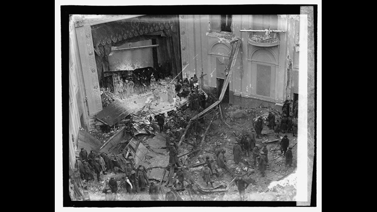
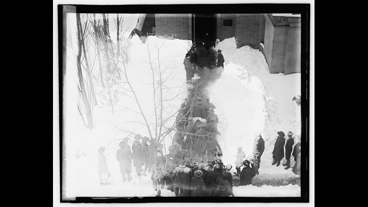
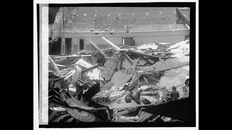
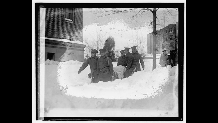
DC’s largest snowstorm on record, dubbed the “Knickerbocker Storm” occurred from January 27 to January 29, 1922. It brought 28” to the Nation’s Capital and caused the roof of the Knickerbocker Theater to collapse, killing 100 people inside. A record 33” were measured in Rock Creek Park. Temperatures were in the low-to-mid 20s during the storm.
January 1922 was not a particularly cold month but extreme cold is not required for big snowstorms. This was a true Nor’easter that developed off the South Carolina coast. The storm then moved up to the Hatteras area of North Carolina and up the East Coast from there. A dome of high pressure was centered in New York State that pumped in cold air which kept the precipitation all snow.
Photo: Snow Totals Map from January 27 - 29, 1922. App Users CLICK HERE.

"Blizzard of '66" - January 29 - 30, 1966
January 1966 was a significantly colder and snowier than average month in the Nation’s Capital. It finished with a monthly total of 21.3” of snow at National Airport – good for fifth snowiest January on record (compared to DC’s January average of 5.6” of snow). It was also a very cold month with a monthly average temperature of 32.4° (combining daily high and low temperatures), compared to the DC’s January average of 36°. It was also the fifth snowiest January on record at Dulles Airport in Sterling, Virginia (19”).
Conditions were ideal for a significant winter storm in late January due to plenty of cold air and a favorable storm track. Consequently, the DC Metro Area experienced one of its largest snow events on record at the time on January 29 – 30, 1966. A large and far-reaching storm that came to be known as the “Blizzard of ‘66” brought significant snowfall to a large portion of the Mid-Atlantic and Northeast. DC already had nearly 8” of snow on the ground from a previous storm and this storm brought 13.8” to National Airport. Some other local snow totals for this storm include: Fredericksburg, VA: 15.5”, Manassas, VA: 13”, Baltimore, MD: 12”.
This was an intense storm that produced a lot of wind and that led to 10’-15’ drifts in places. Airports from DC to Boston were closed and several snowfall records were set. Such a significant snowfall combined with the high drifts paralyzed transportation. This led to food shortages around the Nation’s Capital and that created an added hardship people were forced to endure.
Photo: Snow Totals from January 29 - 30, 1966. App Users CLICK HERE.

"Presidents Day Storm 1979" - February 18 - 19, 1979
Video: WUSA Reporting from 1979 President's Day Storm. App users CLICK HERE
A poorly forecasted blizzard hit the DC Metro Area on February 18-19, 1979. Snow began falling at night on January 18 and ended in the morning of January 19. National Airport recorded 18.7” inches and it remains DC’s third largest snowstorm on record. Only the Knickerbocker Storm in January 1922 and the Valentine’s Day blizzard in 1899 were larger.
The February 1979 storm produced a snow depth of up to 23” downtown and 18” fell in a mere 18 hours. Snowfall reports of 2” to 3” inches per hour occurred with temperatures in the single digits and teens. Early forecasts was for only 4” to 6”.
It was a case of the storm not going out to sea but rather sliding up the coast close enough to bury the Mid-Atlantic Region in heavy snow. New York City had less than 5” and there was no snow in Hartford or Boston. Baltimore had 20”, which was its third largest snowstorm on record at the time.
Many farmers, who had driven their tractors to the Mall to protest agriculture prices, ended up digging the city out. DC had a total of 37.7” of snow fell during the 1978-1979 winter season, with 30.6” falling in February alone. The snow melted quickly and the winter as a whole was warm and wet.
Photo: Snow Totals from February 18 - 19, 1979. App Users CLICK HERE.
"Presidents Day Storm 1983" - February 10 - 11, 1983
Video: 1983 President's Day Storm. App users CLICK HERE
This was a textbook scenario for a heavy snowfall in the DC Metro Region. An area of cold, high pressure was situated in eastern Canada. This helped funnel frigid air up and down the East Coast of the United States. Light snow began falling in Washington, D.C. late on February 10 as an area of low pressure developed in the southeastern United States. By the following morning it had moved northward to the Carolina coastline and was in the ideal location to bring the DC Metro Area heavy snowfall.
The area of low pressure intensified so quickly that some Mid-Atlantic residents reported hearing “thundersnow” which only occurs under the rarest of circumstances. By the time the snow ended in the evening of February 11, DC had experienced a Top 10 snowfall. A total of 16.6” fell at National Airport while Dulles and BWI Airports both had 22.8” of snow. Both ranked higher on the list of Top Ten snowfalls in 1983, but have fallen behind more recent storms like the January 1996, February 2010 and January 2016 blizzards.
However, the impacts at the time were considerable as gusty winds helped created drifts of up to 5’ in parts of the DC Metro Area. Lynchburg, VA had a 24-hour snowfall record of 14.6” while Roanoke, VA had 18.6” of snow according to National Weather Service data.
Photo: Snow Totals from February 10 - 11, 1983. App Users CLICK HERE.
"Veterans Day Storm" - November 11, 1987
Video: 1987 Veteran's Day Storm. App users CLICK HERE
Longtime Washingtonians remember the Veteran's Day Snow Storm of 1987. National Airport recorded 11.5” while 11” fell at Dulles. The Veteran’s Day 1987 snowstorm remains the largest November snowfall on record in the Nation’s Capital. The fact that it occurred during the first half of November makes it especially impressive!
Thundersnow occurred east of town and some of the MD suburbs in Prince George’s County received 14”. It’s relatively rare that the heaviest band of snow is east of DC. It snowed all day as far south as Greensboro, North Carolina where the snow covered the grass. This snowstorm is commonly referred to as the “Veteran’s Day Snowstorm.”
Making this snow especially tricky to deal with across the region was the fact that it occurred in the first half of November when some leaves were still on the trees and those leaves that had already fallen had not yet been cleared. Snow plows were not even on the trucks yet!
Photo: Snow Totals from November 11, 1987. App Users CLICK HERE.

"Superstorm of '93" and "Storm of The Century" - March 13 - 14, 1993
Video: Superstorm of 93. App users CLICK HERE
The “Superstorm of ’93” (as it was dubbed) was on the weather computer models for 10 consecutive days leading up to the storm. The position and strength wavered very little in those 10 days. Model consistency over a 10-day period is rare. In addition, less refined computer weather models existed 25 years ago than what we have now. Moreover, the model that tracked the storm with the most accuracy does not even exist today.
This storm did not produce a great deal of snow in the immediate DC Metro Area mainly due to the mixing of sleet with the snow at the height of the storm. National Airport recorded only 6.6”, but Dulles Airport had 14.1” (its ninth largest snowfall on record).
However, our weather watchers to the west who received all snow were buried under up to 40” ! 56” fell in Mount LeConte, Tennessee, 50” occurred at Mt. Mitchell, NC, Birmingham, Alabama had 17”, Chattanooga, TN had a record 22”, while Syracuse, NY received 43”.
We explained on-air at the time this was the strongest winter storm on record based on air pressure for many eastern cities. A new record low air pressure was set at National Airport (at 28.54”), equivalent to what you would find in a Category 3 hurricane! The March 1993 “Superstorm” caused $6 billion in damage.
Photo: Snow Totals from March 13 - 14, 1993. App Users CLICK HERE.

"Blizzard 96" - January 7 - 9, 1996
Video: "Blizzard 96". App users CLICK HERE
On January 9, 1996, a second Nor’easter hit the DC Metro Area. The initial record-setting blizzard had already dumped one to two feet of snow January 6-8, 1996. The second storm left 4” to 6” of fresh snow. We all began to wonder when the snow would melt. Many side streets downtown remained unplowed.
During the blizzard, the snow began falling around 10 PM on Saturday night, January 6. Heavy snow continued on January 7 with thunder snow that night. This storm set the record for the most snow in a snowstorm at Dulles with 24.6”. At the time, the Blizzard of ’96 was DC’s fourth largest snowstorm on record with 17.3”. The snow ended on Monday, January 8.
Only five days later, high temperatures reached into the 50s, with the 60s the following Friday. The rapid warm-up coupled with another big storm, this time a rain storm, produced the worst flooding the DC Metro Area since Tropical Storm Agnes in June of 1972.
Major flooding occurred on Saturday, January 21. On January 22, the stream flow of the Potomac River in Washington, D.C. was the second highest behind Agnes. The peak flow was 347,000 CFS (cubic feet per second), compared to peak flow with Agnes of 359,000 CFS.
Photo: Snow Totals From January 6 - 8, 1996. App Users CLICK HERE.

"Ice Storm 99" - January 15, 1999
Video: "Ice Storm 99". App users CLICK HERE
A major snow and ice storm struck from the DC Metro Area to Boston on January 14-15, 1999. Late in the morning on January 14, it was 9° degrees in Albany, New York with moderate snow falling. An enormous arctic area of high pressure was centered just south of the Hudson Bay. The pressure at the center of the high was nearly 1045 millibars (mb) or 30.78” of mercury. Standard sea level air pressure is 1013.25 mb or 29.92” of mercury.
This area of high pressure was so large that it drove cold air all the way into northern Virginia the night of January 14. Heavy freezing rain fell that night with temperatures in the mid-to-upper 20s. Consequently, an icy glaze of over half an inch accumulated across most of the DC Metro Area. One half million were without power in our area. It was Pepco’s largest outage on record at the time with a quarter of a million customers in the dark. Some were without power for four days as many substations sustained significant damage.
"January Surprise Storm" - January 25, 2000
Video: "January Surprise Storm". App users CLICK HERE
With arctic air covering much of the East Coast on January 24, 2000, the primary ingredient was already in place for a significant winter storm. While an area of low pressure developed in the Deep South and began to move up the East Coast, all of the computer models at the time the storm out to sea before it could affect the DC Metro Area.
However, by late-evening on January 24, meteorologists realized the storm wasn’t going out to sea. The computer forecasting models finally realized as well that this storm was heading up the East Coast and not turning out to sea. In fact, winter storm warnings weren’t issued until late evening on January 24. However, some people had gone to bed before they saw these updated forecasts and expected only a light dusting by morning. Those people woke up to a major surprise on January 25, 2000.
The Mid-Atlantic Region saw a significant amount of snow from the Nor’Easter with new daily snowfall records set at all three area airports. National Airport recorded 9.3”, Dulles Airport in Sterling, VA, recorded 10” while BWI Airport saw a storm total of 14.9” for their highest snow totals since the “Blizzard of 1996.” 17” fell in Annapolis, Maryland. Meanwhile, Raleigh, NC ended up with a new single storm snow record with 20.3" of snow. Myrtle Beach, SC even reported snow.
January 2000 ended up being the 14th snowiest January on record (14.5”) in the Nation’s Capital, largely because the January 25 snow event.
Photo: Snow Totals from January 25, 2000. App Users CLICK HERE.

"Big Dawg Storm" or "Presidents Day Storm 2003" - February 16 - 18, 2003
Video: Presidents Day Storm 2003. App Users CLICK HERE.
It snowed from Friday night, February 15, through the Monday, February 18. By the time snow ended, the President’s Day Blizzard of ’03 became the fifth largest storm for Washington, D.C. with 16.4” of snow at National Airport. Subsequent storms have knocked this storm farther down on the Top Ten List. Baltimore got 26.8” at BWI Airport for its largest snow on record at the time, narrowly surpassing the Blizzard of ’96 (26.6”).
The forecast evolution with this storm is interesting. On Monday, February 11, we knew a big storm was on the way but our cold air was lacking so it looked like the precipitation would start as snow go to sleet and then to mainly rain. By Tuesday we were getting very concerned about an ice storm as colder air would be over us for a longer period of time. By midweek, DC had all the cold air needed for snow and the expected storm track was south and east of us.
Before the snow began falling, we knew Washingtonians were in for a record-setting snowstorm and that caused us to show a list of the top five DC snows. We went on at 11 PM Friday night with snow bands ranging from 15” to 30”. We called that the ‘Big Dawg Storm’.
Photo: Snow Totals From February 16 - 18, 2003. App Users CLICK HERE.

"Snowpocalypse" - December 18 - 19, 2009
Video: "Snowpocalypse". App users CLICK HERE
Weather records in the Nation’s Capital date back to the 1870s. The record December 2009 snow event is DC’s only Top Ten snowstorm that occurred in December. A total of 16.4” was official observed at National Airport and 18” at Dulles Airport.
Once again National’s “official” snow total was low compared to nearby areas such as Alexandria, VA or the National Mall. 21” occurred in Northwest with higher amounts north, east, west and south of us and of National Airport.
We tried to keep you one step ahead of the storm. On the Thursday before the storm we said that it was somewhere between “big” and “historic” and leaning toward “historic. Here were some of our tips during the storm...shovel frequently, mark and then dig out your downspouts, mailbox, dryer vent and heat pump. Remember don’t leave home without sunglasses and make sure your wiper fluid is full.
After any blizzard we get worried about flooding but we were very fortunate all last winter as each storm melted slowly and without any heavy rain. Little did we know what still awaited us in February 2010!
Photo: Snow Totals from December 19 - 20, 2009. App Users CLICK HERE.

"Snowmaggedon" - February 5 - 6, 2010
Video: "Snowmaggedon". App users CLICK HERE
This devastating blizzard will forever remain in the annals of DC weather history as being one of the most significant winter storms in the Mid-Atlantic Region. Dubbed “Snowmageddon” and the “Superbowl Storm,” this winter storm spanned two days ended early on Superbowl Sunday.
Power outages were widespread and the Federal Government closed on four consecutive days in the storm’s aftermath. Due the magnitude of the fourth largest snowstorm on record for the Nation’s Capital, it took days for roads to be cleared and power to be restored. It’s worth noting that National Airport somehow recorded exactly the same amount, 17.8”, during the January 2016 blizzard, so “Snowmageddon” and the “Blizzard of 2016” are tied as DC’s fourth largest snow events.
The 17.8” that fell at National Airport narrowly passed the 17.3” that fell during the January 1996 snowfall and the 16.4” that fell during the President’s Day 2003 and December 2009 storms (currently tied for eighth largest DC snow events). Having two Top Ten snowfalls in the Nation’s Capital during the same winter had not occurred prior to the 2009-2010 winter season.
The 32.4” at Dulles Airport during “Snowmageddon” also set a record for largest two-day snow total on record that surpassed the 24.6” that fell during the January 1996 snow event. This storm developed as an area of low pressure along the Gulf Coast that intensified rapidly. It continued to strengthen as it moved up the East Coast of the United States. This storm was a Mid-Atlantic storm as heavy snow fell in Philadelphia but not New York or Boston where under an inch fell.
Photo: Snow Totals from February 5 - 6, 2010. App Users CLICK HERE.

"Carmaggedon" - January 26, 2011
Video: "Carmaggedon". App users CLICK HERE
This storm was unique in many ways. First, it was a very dynamic storm. Strong vertical motion produced afternoon thunderstorms that contained hail that turned quickly into heavy snow with thunder and lightning. Secondly, it was a very wet snow. It was difficult to drive through and as the snow clung to branches and trees which led to massive power outages. The George Washington Parkway in northern Virginia was forced to close. That left motorists trapped in their cars for 8 to 11 hours in some cases.
The liquid water equivalent to the 5” that fell at National was 1.52”. Let’s compare that to our December 2009 blizzard. National recorded 16.4” of snow with almost 20% less liquid equivalent (1.34”). Thirdly, in terms of snowfall it wasn’t a huge storm by any stretch but it caused more power outages for BG&E customers than the February 2010 blizzard. In 2010, 142,000 customers lost power compared with “Carmaggedon” which knocked out power to over 200,000.
Also, when is the last time you can remember a heavy snow event with temperatures above freezing? Heavy snow fell over the DC Metro Area with temperatures between 33° and 35°!
Photo: Snow Totals from January 26, 2011. App Users CLICK HERE.

"Blizzard 2016" - January 22 - 23, 2016
Video: 2016 Blizzard. App users CLICK HERE
The irony about this storm is the 2015-2016 winter got off to a poor start for snow lovers. December 2015 was the warmest on record in the Nation’s Capital and DC didn’t experience the first measurable snowfall of the season until January 17 – a record for latest in the season that DC had its first measurable snowfall of the winter.
The second half of January 2016 was colder than average with temperatures remaining below 40° on eight consecutive days through January 24. This colder than average weather helped create favorable conditions when an area of low pressure developed in the Deep South and tracked up the East Coast. The computer forecast models did a remarkable job of picking up on this storm several days in advance. Meteorologists hinted at the prospect of a significant winter storm on January 22-23, 2016.
The storm took a near perfect track with an area of high pressure in northern New York that helped keep plenty of cold air in place. The intensifying area of low pressure had an unlimited supply of moisture that was thrust into the cold air mass in the Mid-Atlantic from the Atlantic Ocean and Gulf of Mexico. This was a long-lasting storm with the snow starting in the late-morning on Friday, January 22 and continuing until Saturday evening, January 23.
By the time it was over, National Airport had 17.8” that tied it for fourth highest total with “Snowmageddon” in February 2010. Dulles Airport had its second largest snowstorm with 29.3”. Meanwhile for the following cities, the January 2016 blizzard was their largest on record: Baltimore, MD (29.2”), Harrisburg, PA (30.2”) and New York City at JFK Airport (30.5”) and LaGuardia Airport (27.9”).
Photo: Snow Totals From January 22 - 24, 2016. App Users CLICK HERE.


